
3D-Visualisierung für Stadtplanung
Städtebau-Visualisierung mit Luftbildern von Masterplänen, Ansichten auf Augenhöhe und Bildern für Konsultationen, für Stadtplanungsteams, Architekten und Projektentwickler. Das Vorhaben wird ehrlich in das Gelände eingezeichnet, in das es tatsächlich kommt, denn ein Gremium, das ein schmeichelhaftes Detail entdeckt, glaubt dem Rest der Unterlagen nicht mehr.
- Kontext aus Vermessung und Standortfotos modelliert, nicht aus dem Gedächtnis
- Bepflanzung in Übergabegröße gezeichnet, die Zwanzigjahresversion nur auf Anfrage
- Antwort innerhalb von 30 Minuten, Kamerakoordinaten werden übermittelt, volle Nutzungsrechte inbegriffen
Wir nehmen monatlich nur eine begrenzte Anzahl von Projekten an, damit jede Szene höchste Qualität erhält.
1,247
Projekte abgeschlossen
13
Jahre im Geschäft
17
Länder, in die geliefert wurde





★★★★★
Bewertet mit 4,9 auf Clutch · Unsere Bewertungen ansehen




125 von 220 Kunden kamen zurück
Mehr als die Hälfte unserer Kunden hat uns erneut beauftragt
Das Bild ist Beweis, kein Werbebild
Eine Masterplan-Visualisierung tritt in einen Stadtplanungsprozess ein und bleibt dort. Sie wird von einem Beamten gelesen, der eine Empfehlung schreibt, von Einwendern mit viel Zeit und von Nachbarn, die die Straße besser kennen als Sie.
Daher werden die Nachbarn aus Vermessungsdaten statt aus dem Gedächtnis modelliert, die Bepflanzung wird in der Größe gezeichnet, die sie am Tag der Übergabe haben wird, und die Kamera steht dort, wo es der Blickwinkelplan vorschreibt. Alles andere auf dieser Seite folgt diesen drei Regeln.
Einwender sind gut darin, das Gegenteil zu erkennen. Ein Baum in einer Höhe, die erst nach Jahrzehnten erreicht wäre, eine nachbarliche Dachlinie, die stillschweigend um ein Stockwerk gesenkt wurde, ein Blickwinkel, der fünfzehn Meter die Straße hinauf verlegt wurde, sodass ein Giebel aus dem Rahmen fällt. Eines davon, einmal entdeckt, und jedes andere Bild im Paket ist in Frage gestellt. Entwürfe scheitern selten an der Übertreibung selbst. Sie scheitern an dem, was die Übertreibung über die Zeichnungen verrät, die noch niemand geprüft hat.
Die Disziplin ist nicht kompliziert, sie ist nur unspektakulär. Modellieren Sie, was vorhanden ist. Zeigen Sie, was vorgeschlagen wird. Wo die Informationen fehlten und eine Annahme getroffen werden musste, nennen Sie die Annahme schriftlich neben dem Bild, bevor jemand anderes sie finden muss.
Was eine Städtebau-Visualisierung wirklich braucht
Städtebauliche Visualisierung ist keine Dekoration. Ihre Aufgabe ist es, dem Betrachter zu ermöglichen, die Baumasse mit dem abzugleichen, was bereits vor Ort steht: Höhen gegenüber den Gebäuden zu beiden Seiten, die Dachlinie gegenüber einer bereits bestehenden Skyline, den Schatten, den ein neuer Block auf einen Garten wirft, der älter ist als er. Fällt dieser Abgleich falsch aus, wird das Bild zum Grund für das Scheitern eines Vorhabens, nicht für seinen Erfolg.
Eine Masterplan-Visualisierung, egal wie viele Ausgaben
Eine einzige Masterplan-Visualisierung, die einmal aus Vermessungsdaten und den Entwurfszeichnungen erstellt wird, ist die Grundlage für jedes spätere Bild: das Luftbild für den Ausschuss, die Ansichten auf Augenhöhe, die Konsultationstafeln und der Phasenplan. Wird der Kontext für jede Ausgabe separat neu erstellt, widerspricht sich das Gesamtpaket am Ende.
Sehen Sie, wie es sich bewährt in den ausgewählten Arbeiten unten.
Das Paket, der Saal und das gesamte Gelände
01
Das Ausschusspaket
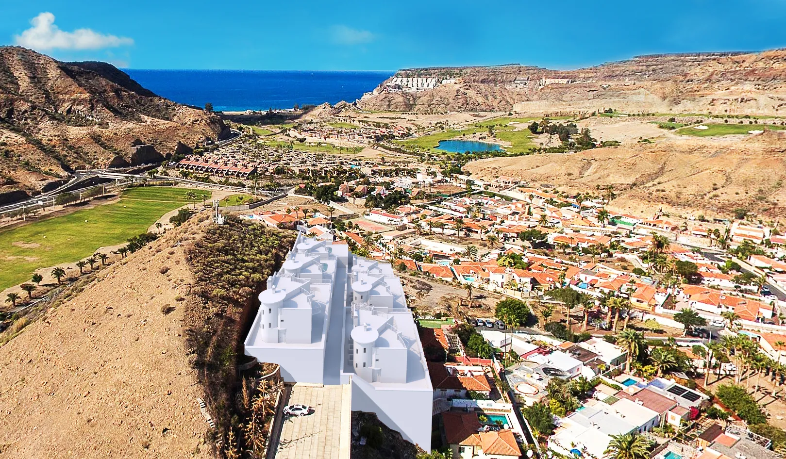
Eingereichte Bilder werden in einem öffentlichen Register geführt und neben dem Bericht des Sachbearbeiters und eingegangenen Einspruchsschreiben gelesen. Daher müssen sie referenzierbar sein: nummeriert, jedes an eine markierte Position im Lageplan gebunden, damit eine Empfehlung Ansicht 04 zitieren kann und der Raum denselben Bildausschnitt betrachtet.
Standpunkte werden mit Ihnen oder gemäß dem Blickpunktplan der Behörde vereinbart, bevor etwas gerendert wird. Mitglieder, die diese Straße kennen, haben dort gestanden, und wenn der Bildausschnitt nicht dem entspricht, woran sie sich erinnern, geht es bei der Besprechung nicht mehr um Ihr Vorhaben.
02
Der Konsultationsabend
Eine öffentliche Versammlung ist ein Raum voller Menschen, die Ihr Vorhaben nicht angefordert haben und größtenteils bereits entschieden haben, wie sie dazu stehen. Beschönigende Bilder machen es schlimmer: Die erste Person, die die Beschönigung bemerkt, hat den Raum für den Rest des Abends auf ihrer Seite.
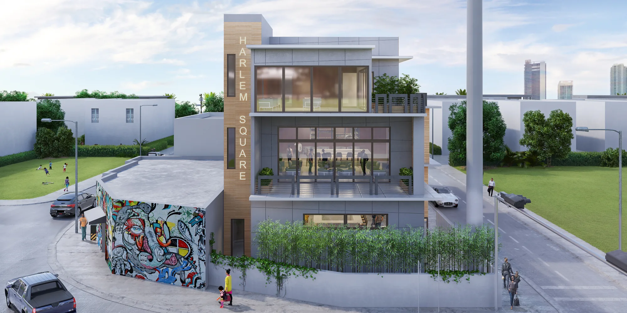
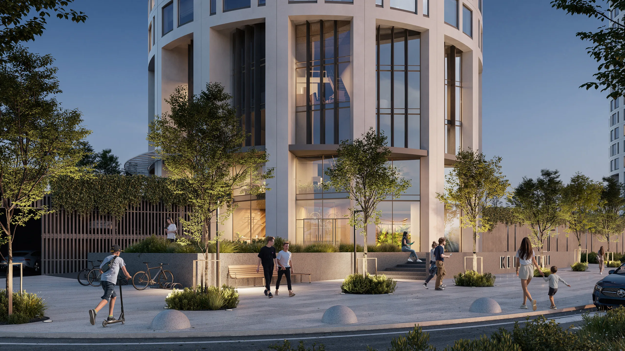
Was funktioniert, ist Augenhöhe, gewöhnliches Wetter, echtes Bodenniveau und der öffentliche Raum in der Größe, in der ein Mensch ihn durchschreitet. Eine Tafel, vor der Menschen ehrlich stehen und argumentieren können, ist mehr wert als ein Hochglanzbild, dem sie misstrauen.
03
Das Vorhaben als Ganzes
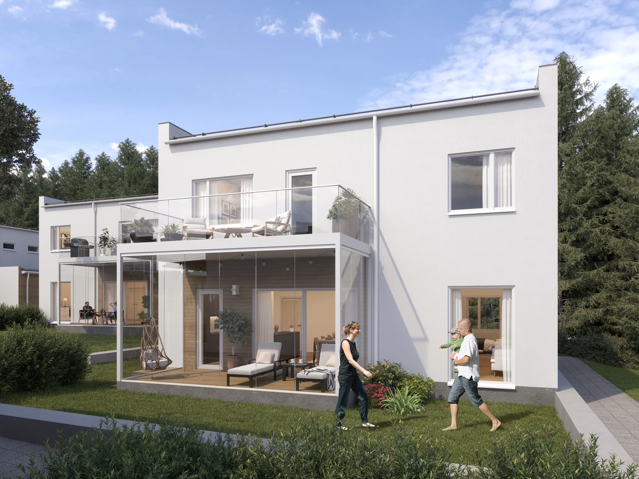
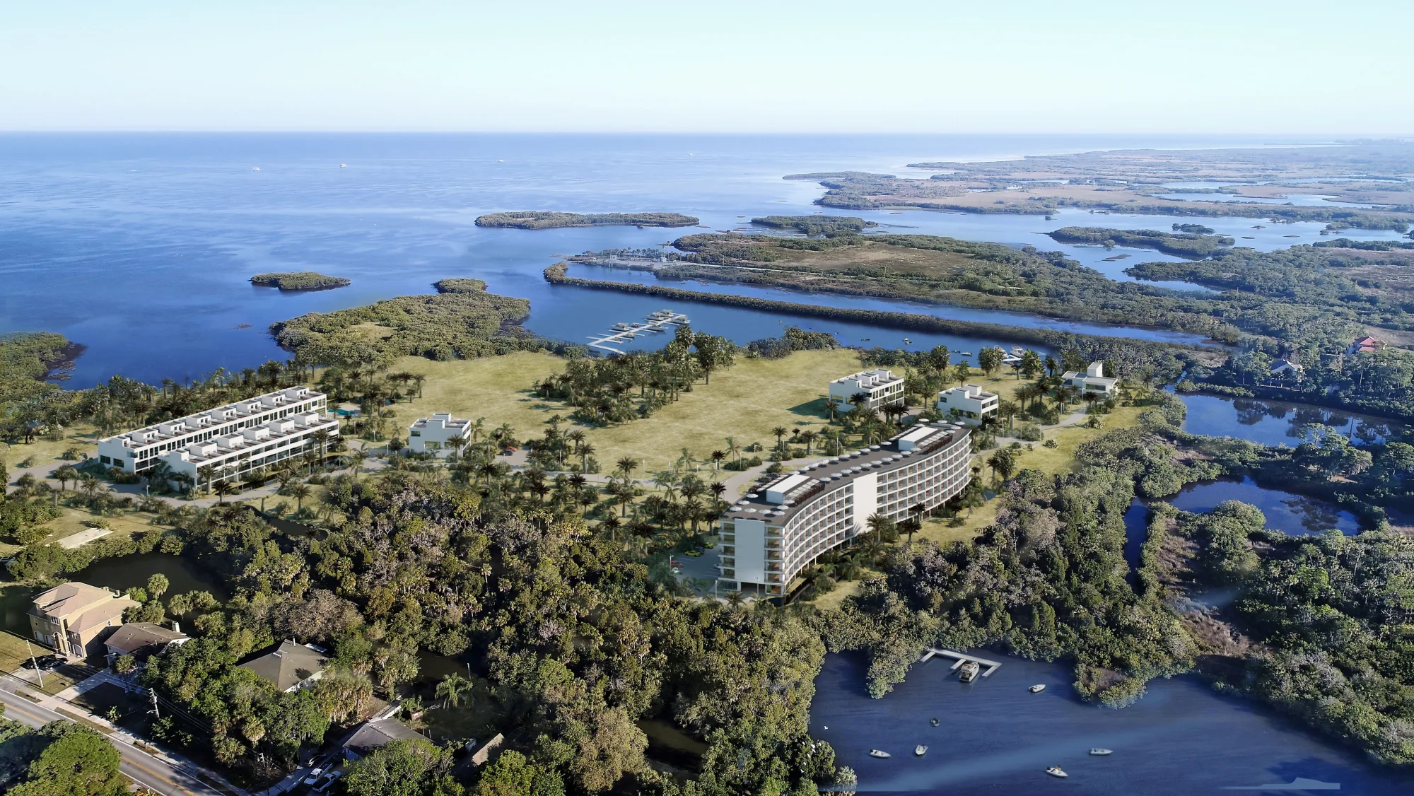
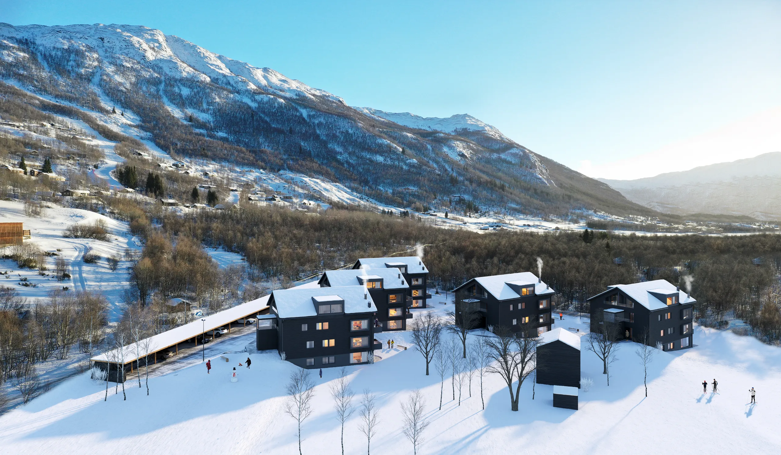
Jeder Blickwinkel auf Augenhöhe beantwortet einen Einwand von einer bestimmten Position aus. Die Luftaufnahme ist der Punkt, an dem das Gesamtkonzept beurteilt wird: wie es sich in die bestehenden Straßen einfügt, wo eine Phase endet und die nächste beginnt, und was jemand zwei Straßen weiter sehen wird. Das ist Stadtvisualisierung ebenso wie Architektur. Pläne enthalten all das, und kaum jemand im Raum liest Pläne auf diese Weise.
Es basiert auf der gleichen Arbeitsszene wie die Straßenansichten, sodass beide übereinstimmen. Die Aufteilung einer Luftaufnahme und eines Ansichtssatzes auf zwei Anbieter führt dazu, dass ein Einreichungspaket in der Öffentlichkeit widersprüchlich wirkt.
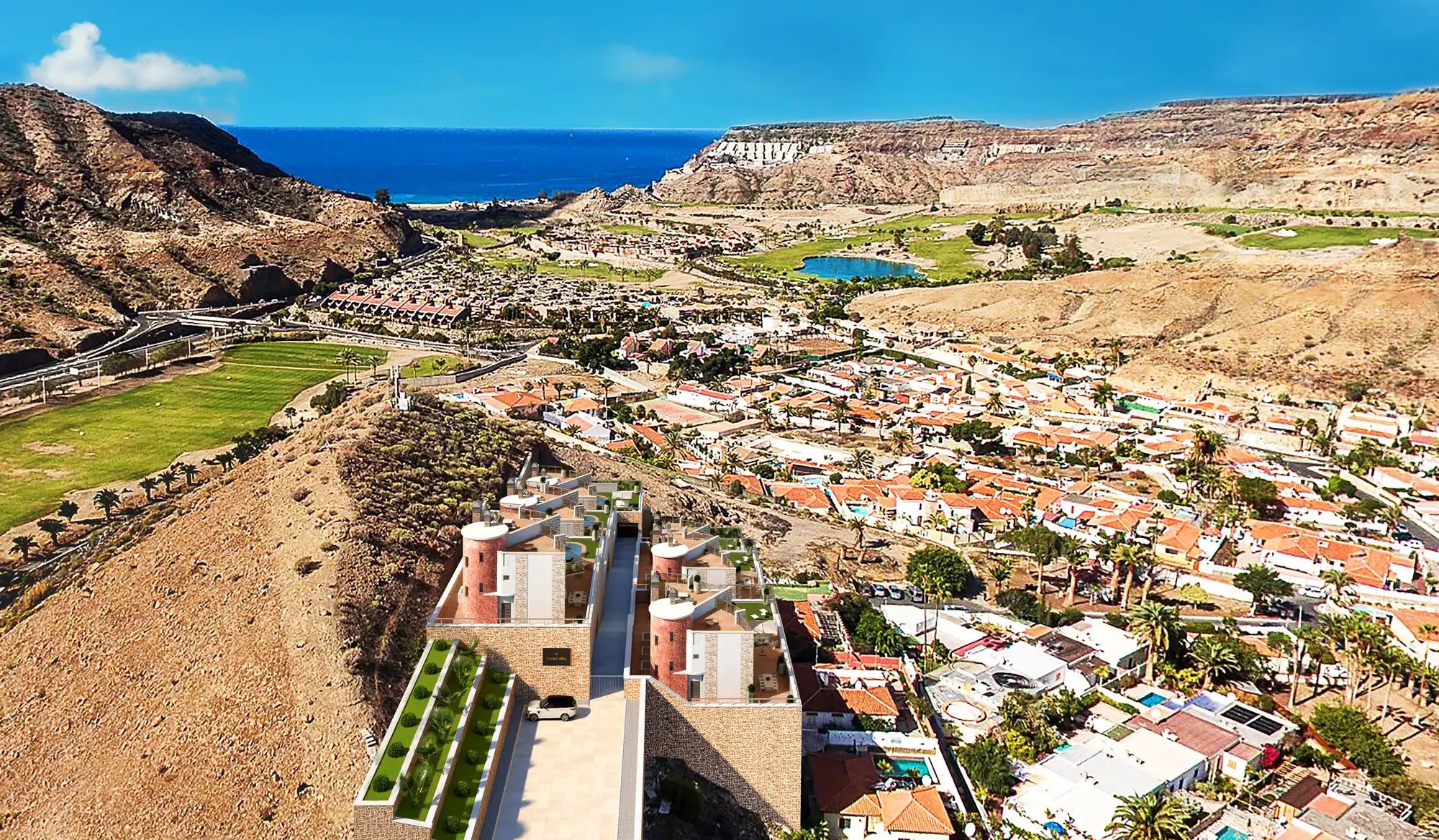
Vier Bildarten, ein Modell darunter
Eine Einreichung, eine Konsultation und ein Verkaufsstart erfordern unterschiedliche Bilder. Sie sollten jedoch nicht unterschiedliche Modelle benötigen, da das Paket sonst widersprüchliche Zahlen enthält.
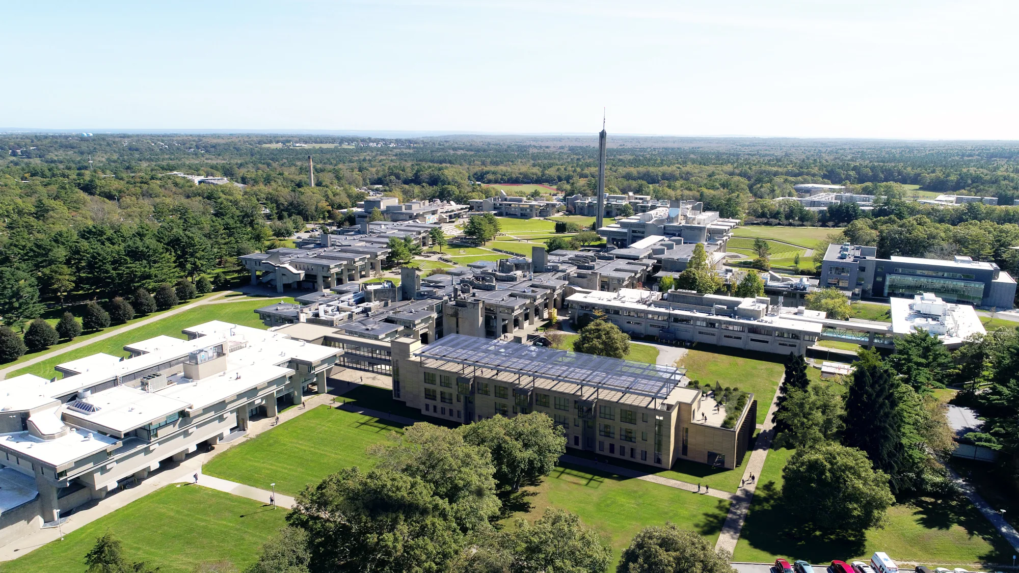
Masterplan-Luftaufnahmen
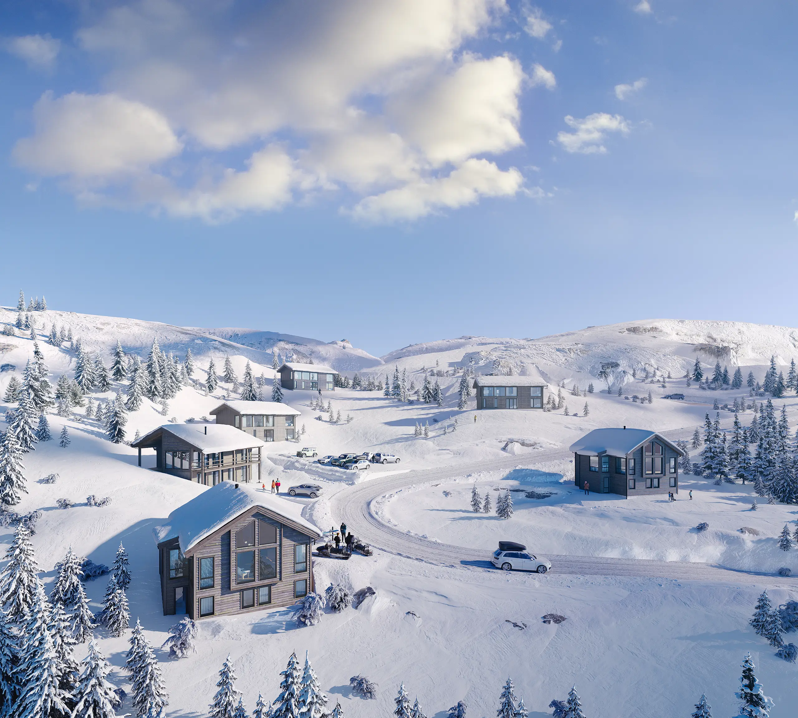
Das gesamte Gelände in einem Bild: Grenze, Zugang, Dachlandschaft, Landschaft und die Nachbarn, zu denen es passen muss. Das Bild, das Pläne nicht ersetzen können.
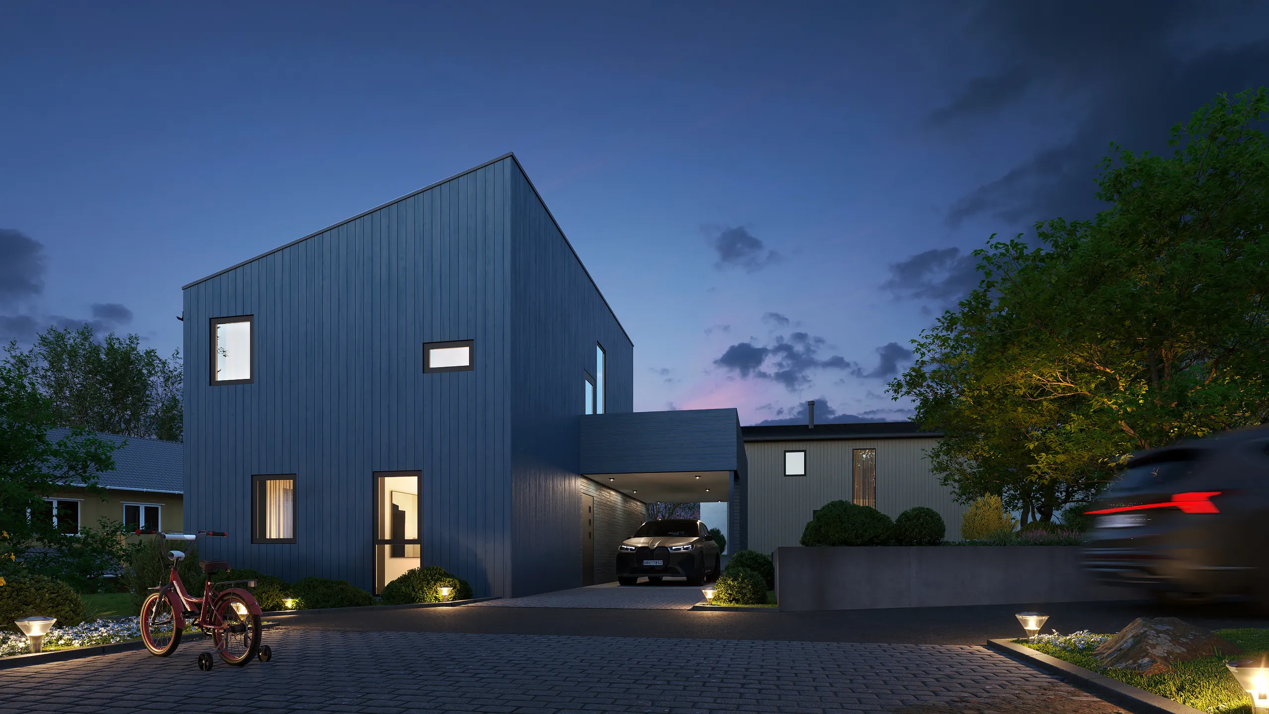
Blickwinkel auf Augenhöhe
Die Ansicht von der Ecke, an der sich Personen tatsächlich aufhalten, in der tatsächlichen Höhe einer Person. Nummeriert, vereinbart und aufgezeichnet, bevor die Kamera bewegt wird.
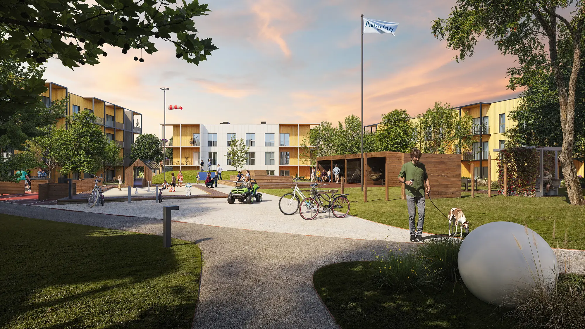
Öffentlicher Raum und Landschaft
Plätze, Wege, Bepflanzung und der Boden zwischen den Gebäuden. Der Teil, nach dem in einer Konsultation zuerst gefragt wird und den die meisten Einreichungen zuletzt rendern.
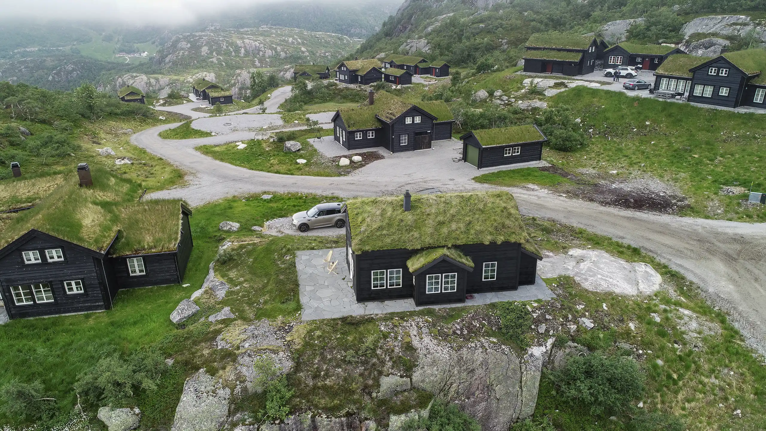
Phasen- und Vergleichssätze
Dieselbe Kamera, dasselbe Licht, über Bestand, Phase eins und Fertigstellung. Ein Satz, der das Wetter zwischen den Bildern ändert, ist kein Vergleich.
Drei Aufträge, eine Arbeitsmethode
Grob-, Voll- und überarbeitete Einreichungen basieren alle auf demselben Geländemodell. Was sich ändert, ist der Grad der Genauigkeit, den die jeweilige Phase erfordert.
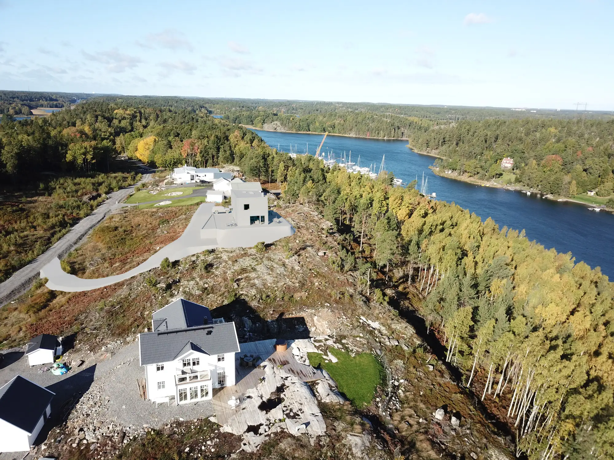
Grobkonzept und Massenstudie
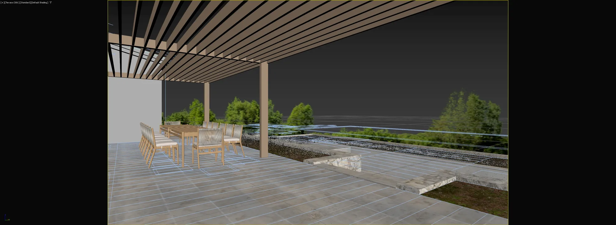
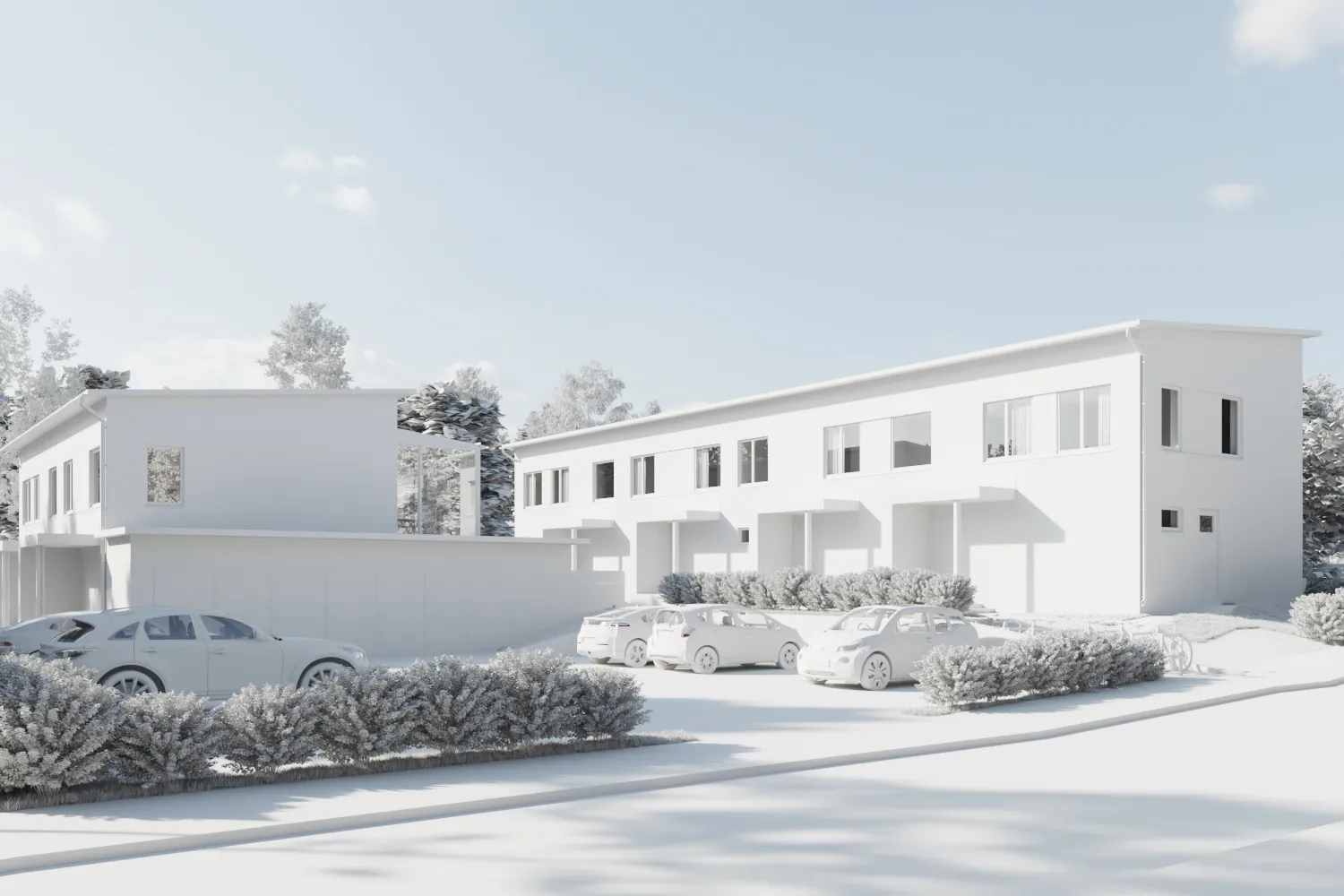
Bevor ein Entwurf detailliert gezeichnet wird, wird bei einem Vorantragstermin oder einer frühen Konsultation meist eine ehrliche Antwort auf eine Frage gesucht: Wie fügt sich dies in das bereits Bestehende ein? Eine untexturierte Graumodell-Luftaufnahme beantwortet dies, ohne eine fertige Materialwahl vorzutäuschen.
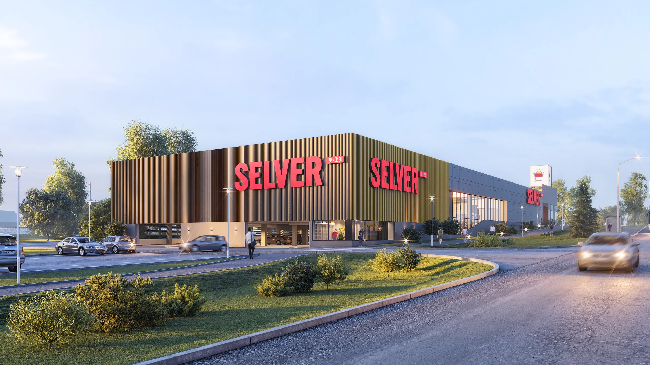
Vollständige Einreichung und Ausschussunterlagen
Der Großteil der Arbeit auf dieser Seite: nummerierte Standpunkte, die an einen Lageplan gebunden sind, eine Luftaufnahme, die das gesamte Vorhaben erfasst, und ein Set für den öffentlichen Raum, das für den Bericht des Beamten und die darauf folgende Sitzung erstellt wurde.
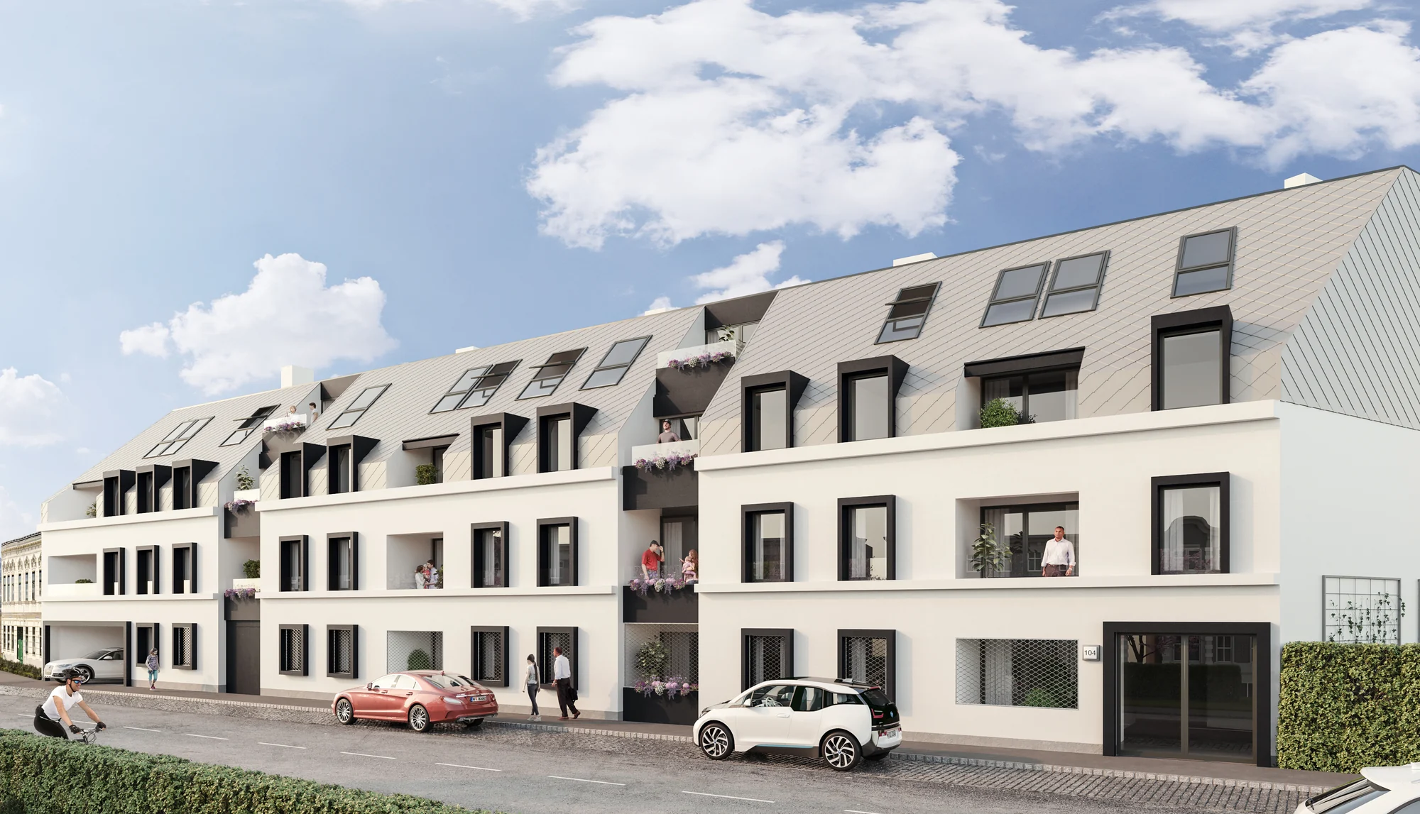
Neueinreichung, ohne von vorne zu beginnen
Eine Ablehnung oder eine überarbeitete Empfehlung nach der Konsultation bedeutet nicht, die Szene neu aufzubauen. Kontext, Kameras und Licht sind bereits festgelegt, daher ist eine Neueinreichung ein neuer Satz von Bildern aus dem bestehenden Modell.
Ein Studiopartner, keine Renderfarm
Europäische Lieferung, praktikable Zeitzonen
Ein estnisches Studio, das seit 2013 in den nordischen Ländern, den baltischen Staaten, Europa, Großbritannien, den USA, Kanada und Australien tätig ist. Kommentare am Abend, ein überarbeitetes Bild am Morgen.

Vertraulichkeit als Standard
Projekte ohne Baugenehmigung, Wettbewerbsbeiträge und unangekündigte Markteinführungen sind geschäftlich sensibel. Wir arbeiten ohne Aufforderung unter NDA und veröffentlichen kein Projekt ohne Genehmigung.

Sie sprechen mit dem Visualisierer, nicht mit einer Warteschlange
Keine Account-Manager-Ebene. Sie senden die Dateien, erhalten einen verbindlichen Preis und sprechen mit der Person, die die Szene baut. Weniger Übergaben sind der Grund, warum die erste Vorschau näher am Ziel liegt.
Eine konsistente Bildsprache
Über ein Set oder über Jahre wiederholter Arbeit hinweg bleiben Licht, Materialien und Kameraführung konsistent. Zehn Freiberufler können das nicht leisten, und es ist auf Seite vier einer Broschüre sichtbar.
Drei Entscheidungen, die es wert sind, frühzeitig getroffen zu werden
Wie viele Standpunkte die Behörde tatsächlich wünscht
Ein Blickpunktplan mit zwei Ansichten und einer mit vierzehn sind unterschiedliche Aufgaben. Fragen Sie den zuständigen Sachbearbeiter direkt, falls noch keiner vorliegt: Zu hoch zu schätzen verschwendet Budget, zu niedrig zu schätzen bedeutet eine zweite Runde vor der Frist.
Was über Annahmen offengelegt werden sollte
Wo die Vermessung aufhört, beginnt eine Annahme. Sie schriftlich neben dem Bild zu benennen, bevor jemand anderes sie findet, ist einem Ausschuss mehr wert als ein makelloses Rendering, bei dem unbemerkt etwas fehlt.
Ob sich das Vorhaben voraussichtlich ändert
Dass sich ein Vorhaben nach der Einreichung noch verändert, ist normal. Die Szene beizubehalten, statt jede Runde als neues Projekt zu behandeln, macht es möglich, einen zweiten Satz schnell genug für eine erneute Konsultationsfrist zu liefern.
Vier Phasen, egal, was Sie beauftragt haben
Briefing
Briefing und Festpreisangebot
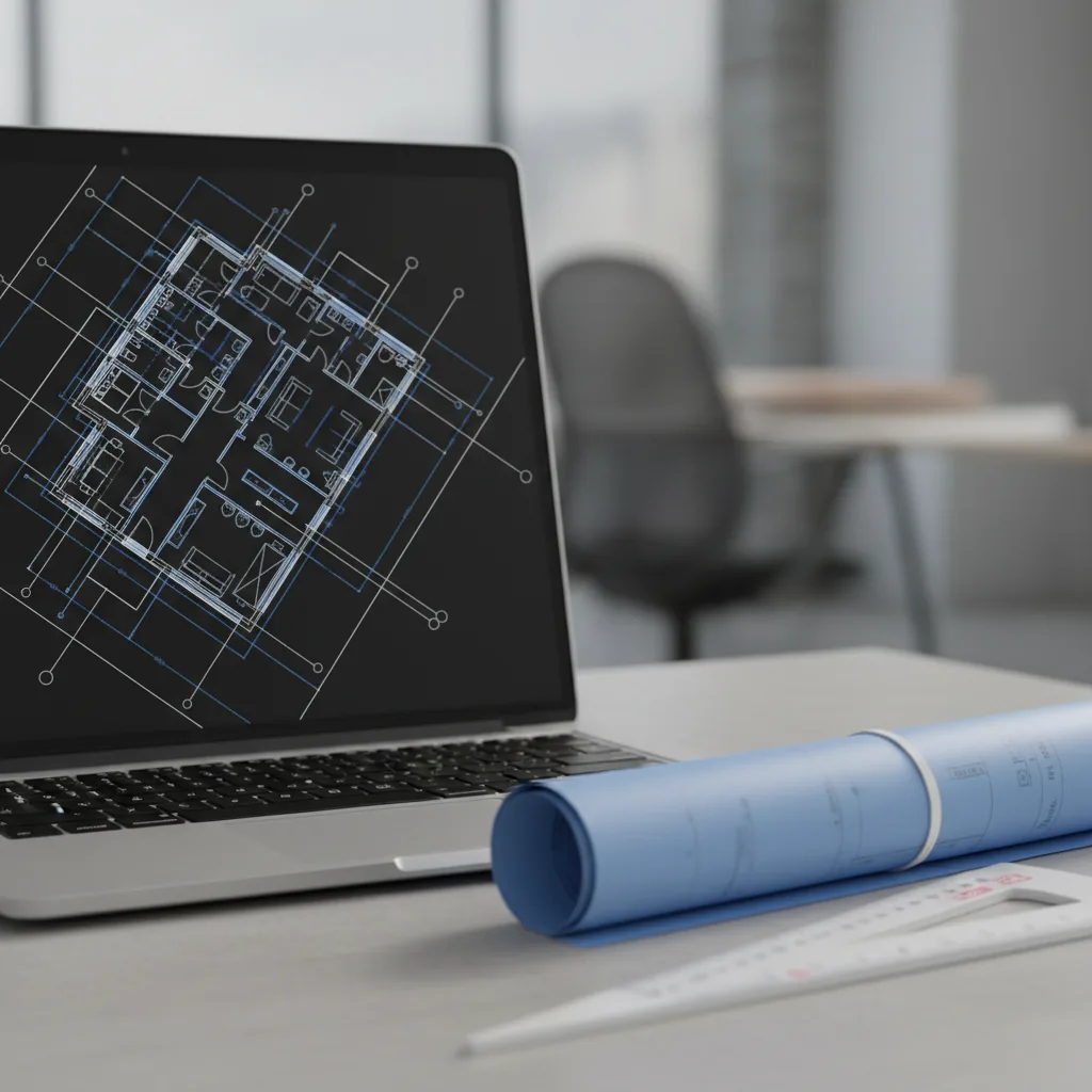
Laden Sie CAD-, PDF-, Revit- oder SketchUp-Dateien oder ein Foto einer Skizze hoch. Wir erstellen das Briefing aus Ihren Dateien, einen Fragebogen gibt es nicht. Sie erhalten innerhalb von 30 Minuten eine Antwort: einen festen Projektpreis und einen Liefertermin oder die 1-2 Fragen, die vorab geklärt werden müssen.
Tage 1-3
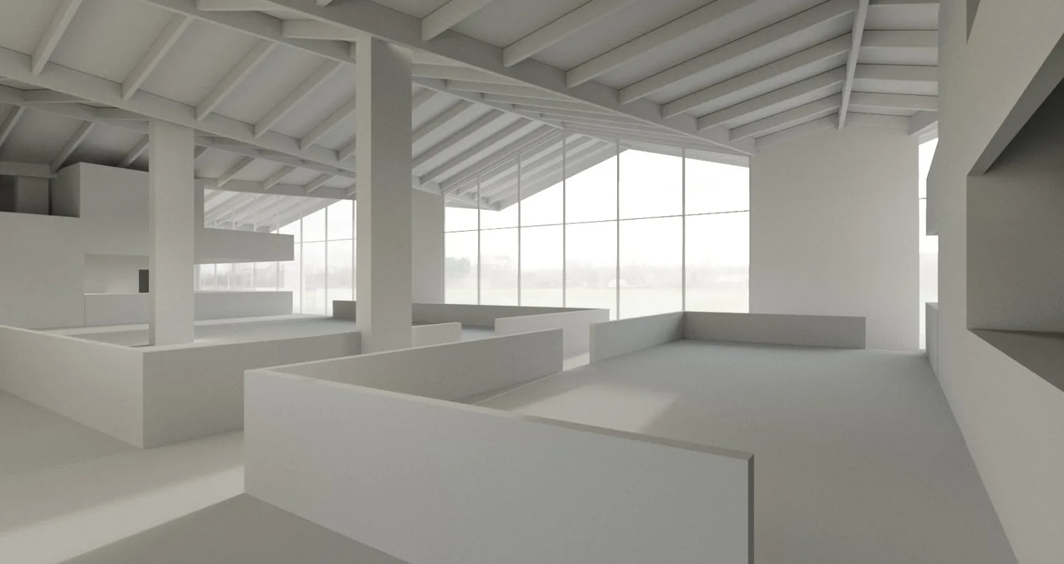
Graumodell
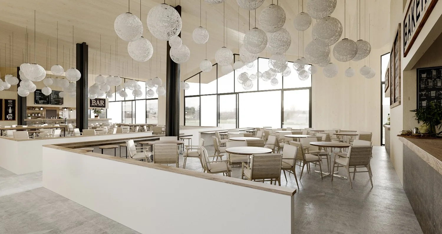
Wir bauen das 3D-Modell ohne Materialien auf und setzen die Kamera. Blickwinkel, Objektiv, Höhe und Tageszeit werden an diesem Graumodell festgelegt, solange Änderungen schnell und günstig sind.
Woche 1
Vorschau-Rendering
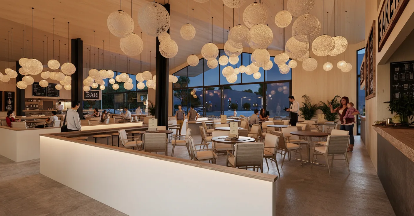
Dieselbe Ansicht mit ergänzten Materialien, Beleuchtung und Umgebung. Sie sehen sie früh, solange Licht und Oberflächen noch leicht geändert werden können. 2 Korrekturrunden sind inklusive, und wir verfeinern weiter, bis Sie das Ergebnis freigeben.
Lieferung
Fertiges Rendering
Das freigegebene Bild, vollständig fertiggestellt und in 4K geliefert, auf Anfrage mit größeren Formaten für den Druck und mit vollständigen Nutzungsrechten. Jede weitere Ansicht im Set nutzt die bereits aufgebaute Szene, sodass jedes zusätzliche Bild deutlich weniger kostet als das erste.
Standorte, nicht nur Gebäude
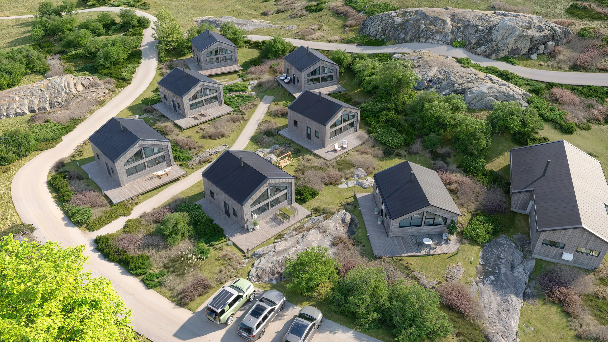
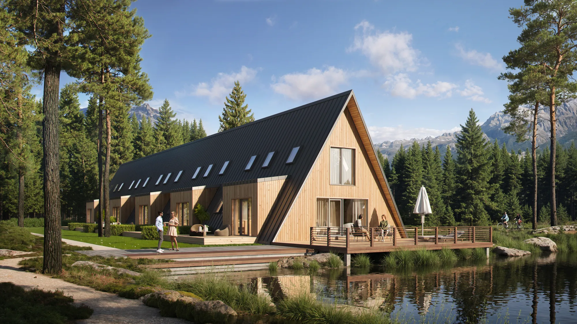
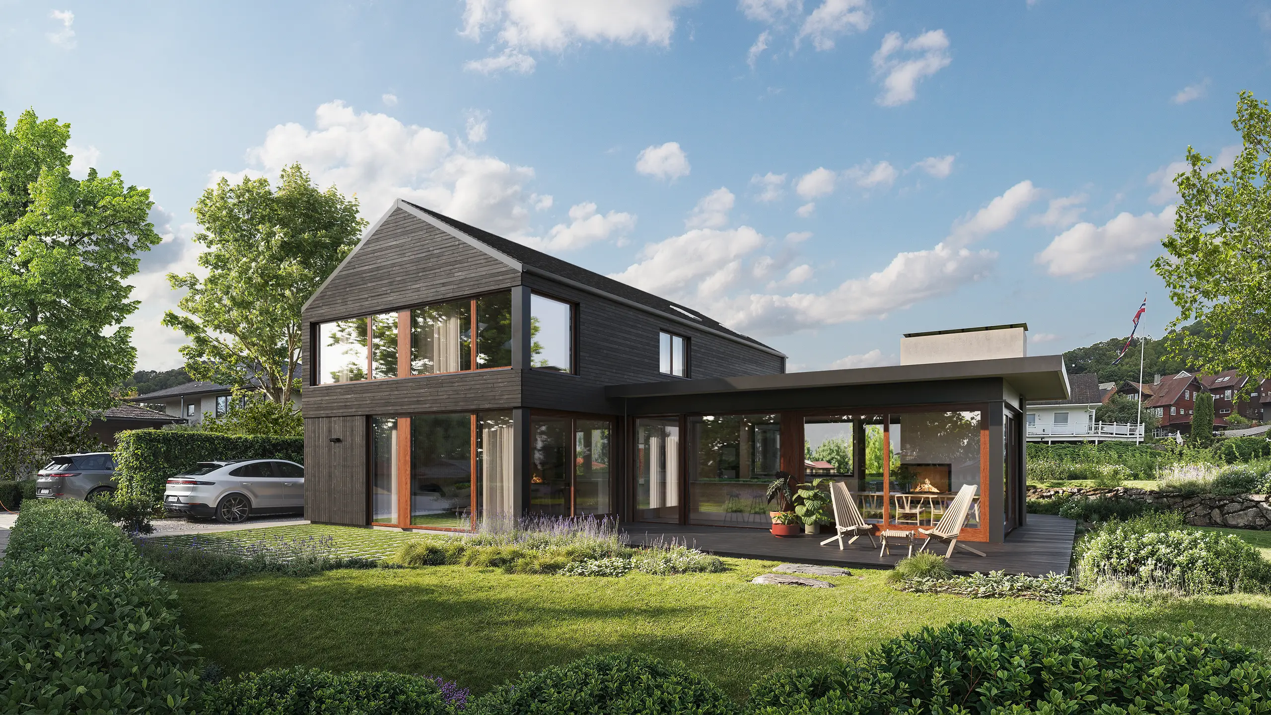
Projekte, bei denen das Gelände, die Grenze und die Nachbarn ebenso Teil der Aufgabe waren wie die Architektur.
Was ein Angebot für eine Stadtplanungs-Visualisierung beeinflusst
Abgerechnet wird pro Projekt, nicht pro Bild. Das verändert den Preis.
-
Größe und Komplexität des Standorts
Eine einzelne Baulücke und ein Masterplan über vierzig Hektar sind unterschiedliche Aufgaben. Die Grundstücksgrenze und der Teil der Umgebung, der nachgebaut werden muss, bestimmen die Kosten für den Aufbau der Szene, noch bevor ein Standpunkt gezählt wird.
-
Anzahl der Standpunkte
Der Blickpunktplan einer Behörde kann zwei Ansichten oder vierzehn vorgeben. Jede teilt sich dieselbe zugrunde liegende Szene, sodass die zweite Ansicht weniger kostet als die erste, und die zwölfte nochmals weniger.
-
Wie vollständig Ihre Vermessung ist
Eine topografische Vermessung und ein Katasterauszug ermöglichen uns den direkten Einstieg in die Modellierung. Fehlende Informationen müssen geschätzt und offengelegt werden, was Zeit kostet, auch wenn es die Kosten nicht wesentlich erhöht.
-
Wie viele Runden der Prozess benötigt
Ein Entwurf, der sich nach der Konsultation ändert, ist eine Überarbeitung einer bestehenden Szene und kein Neubau, daher werden spätere Runden deutlich unter dem Preis der ersten berechnet.
Kostenloser Leitfaden
Der CGI-Käuferleitfaden für Stadtplanung
Was das Angebot beeinflusst und was Sie senden müssen, um es schnell zu erhalten.
- Was ein Angebot für Stadtplanung in die Höhe treibt oder senkt
- Die exakte Vermessung und die Zeichnungen, die Ihnen innerhalb 30 Minuten
- Abstimmen der Blickpunkte mit der Behörde, bevor etwas gerendert wird
- Kein Fragebogen im Ausschussstil, bevor die Zahl in Ihrem Posteingang landet
Öffnet das Upload-Formular. Senden Sie, was Sie haben; kein Verkaufsgespräch.
Wie wir uns in Ihren Workflow integrieren
Planungsaufträge kommen unordentlicher an als ein Marketing-Briefing, meist mit bereits feststehendem Abgabetermin. Nichts im Folgenden setzt einen aufgeräumten Dateisatz voraus.
Was wir akzeptieren
StandortinformationenTopografische Vermessung, Grundstücksgrenze, ein Kataster- oder OS-Auszug und Fotos von den relevanten Blickpunkten
Der EntwurfMasterplanzeichnungen, Blockpläne, Schnitte, Geschosshöhen, oder ein SketchUp-, Revit-, ArchiCAD- oder CAD-Modell
BlickwinkelDer Blickpunktplan der Behörde, falls vorhanden. Falls nicht, schlagen wir einen Satz vor, den Sie freigeben, bevor wir rendern
KontextWas auch immer existiert: Punktwolke, Drohnenfotografie, ein Stadtmodell, bereits erteilte Genehmigungen nebenan
EinschränkungenHöhen, geschützte Ausblicke, Baumerhalt, Phasenplanung. Alles, dem das Bild nicht stillschweigend widersprechen darf
Was Sie erhalten
Luftbilder und Blickpunkte4K als Standard, auf Anfrage größer, für A1-Ausstellungstafeln und für das Einreichungs-PDF dimensioniert
Eine AnnahmeanmerkungEin Annahmenvermerk
Board- und DruckausschnitteJedes Seitenverhältnis aus der einen Szene geschnitten: Tafeln, der Entwurfs- und Zugangsbericht, die Bauzaunwerbung, die Pressemitteilung
KameradatenPosition, Höhe und Objektiv für jeden Blickpunkt, damit eine Ansicht später mit der Vermessung abgeglichen werden kann
Die SzeneBehalten und wiederverwendet. Die Überarbeitung nach der Konsultation ist eine Änderung eines bestehenden Modells, kein neues Projekt
Was dasselbe Geländemodell sonst noch liefert
Außenvisualisierung
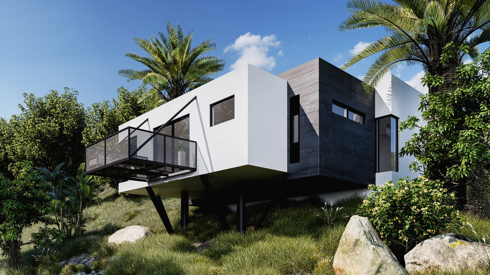
Einzelne Gebäude innerhalb des Masterplans, im Detail, das ein Verkaufsstart benötigt.
Außenvisualisierung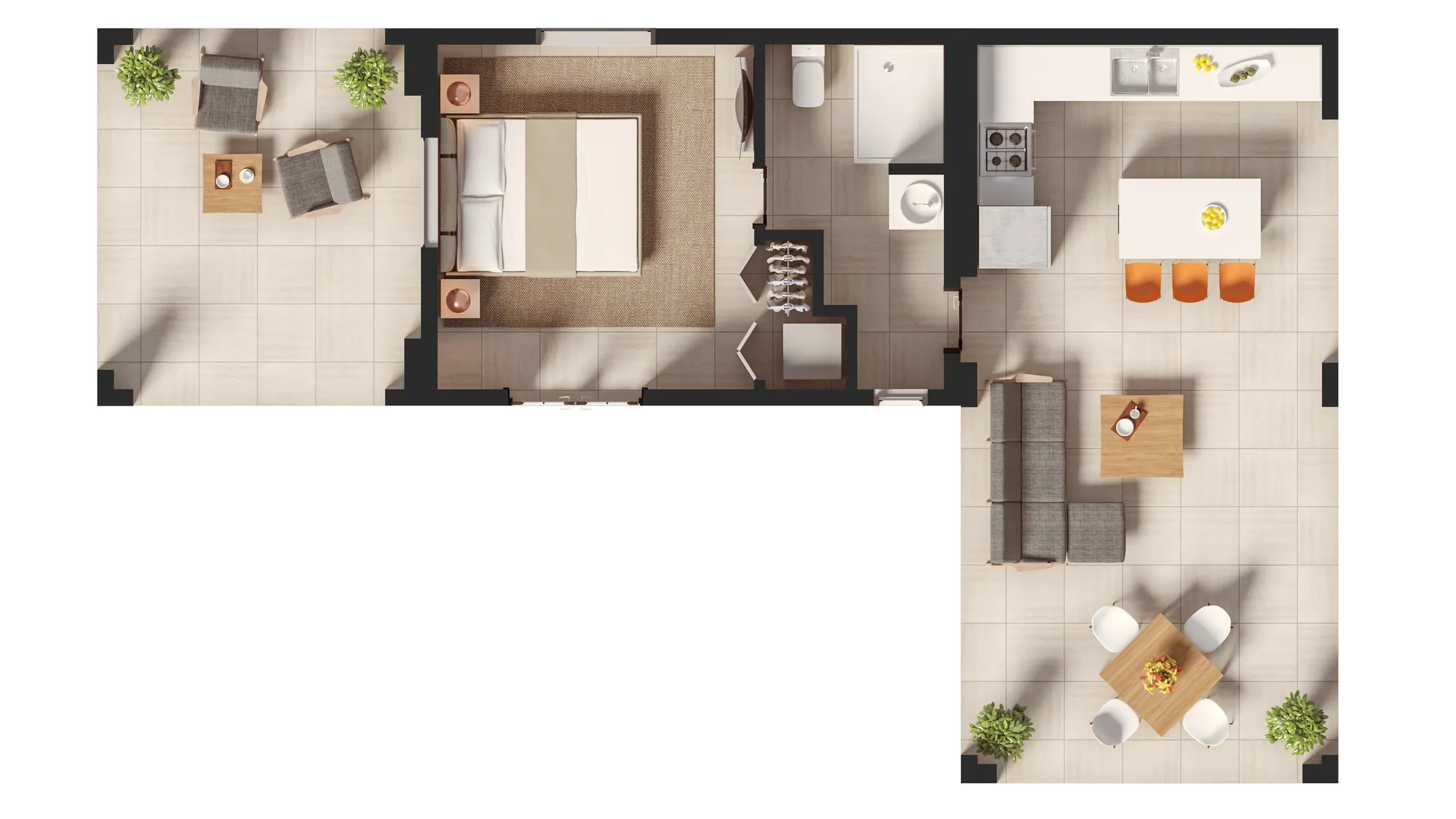
Lageplan-Visualisierung
Die gezeichnete Version: farbig, beschriftet und lesbar für jemanden, der kein Architekt ist.
Lageplan-Visualisierung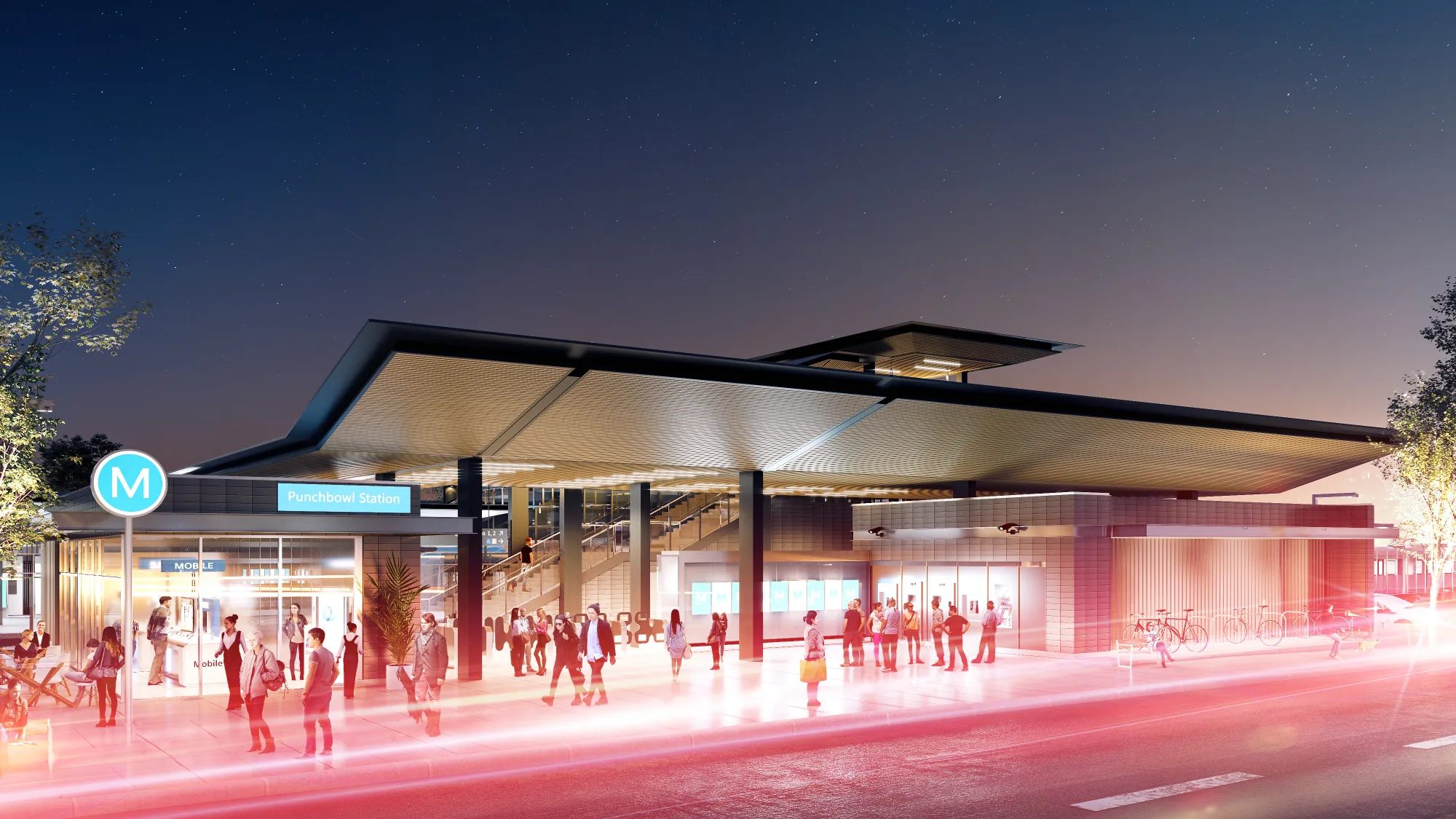
3D-Architekturanimation
Ein Flythrough für den Konsultationsabend und den Ausschussbildschirm, aus derselben Szene geschnitten.
3D-Architekturanimation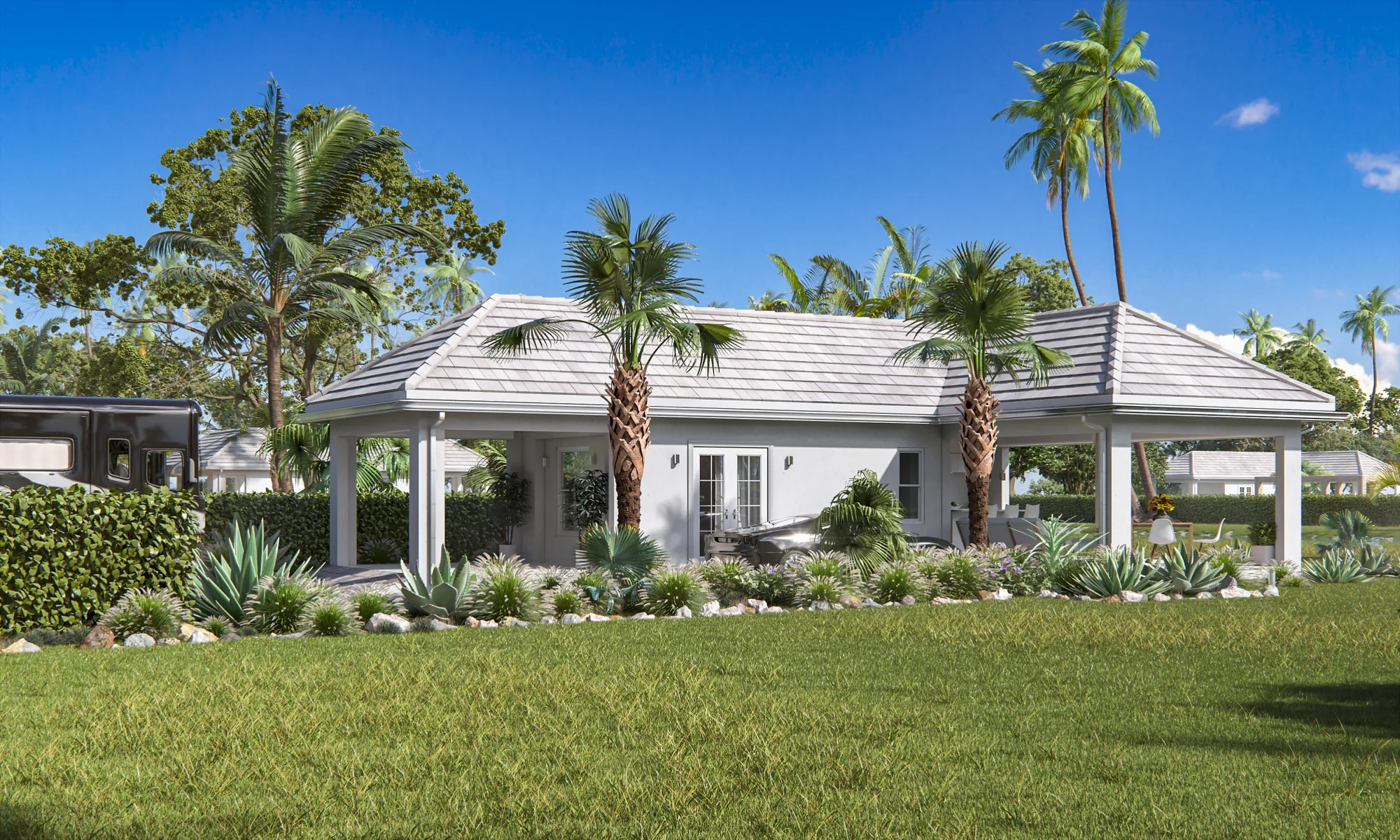
Architekturvisualisierung
Das volle Spektrum, wenn das Projekt auch Innenräume und ein Marketing-Set benötigt.
ArchitekturvisualisierungHäufige Fragen zur 3D-Visualisierung für Stadtplanung
Die Fragen, die uns vor Projektbeginn am häufigsten gestellt werden. Noch unsicher? Senden Sie uns die Zeichnungen, und wir sagen Ihnen, was wir damit machen würden.
Fragen Sie uns direktWas ist Masterplan-Visualisierung?
Ein ganzes Gelände, anstatt nur ein einzelnes Gebäude, als 3D-Modell nachzubilden und daraus die Bilder zu erstellen, die ein Planungsprozess benötigt. Die vorgeschlagenen Baukörper stammen aus Ihren Masterplan-Zeichnungen, die Umgebung aus Vermessungen und Fotografien, und beide werden auf dem gleichen Bodenniveau gehalten, sodass das Projekt am realen Ort in der realen Höhe positioniert ist. Die Ergebnisse sind Luftaufnahmen, Ansichten auf Augenhöhe von vereinbarten Standpunkten, Bilder des öffentlichen Raums und Phasenpläne.
Werden die Bilder vor einem Planungsausschuss bestehen?
Darauf ist die Methode aufgebaut. Nachbarhöhen stammen aus der Vermessung und nicht aus visueller Schätzung, Bepflanzungen werden in der Übergabegröße gezeigt, sofern Sie nichts anderes anfordern, Kameras stehen gemäß Blickpunktplan und wir senden Ihnen die verwendeten Koordinaten. Wo Informationen fehlten, halten wir die Annahme schriftlich fest und übergeben sie Ihnen mit den Bildern, damit Sie diese selbst offenlegen, anstatt dass sie für Sie entdeckt wird.
Stellen Sie verifizierte Ansichten oder genaue visuelle Darstellungen her?
Wir richten uns nach den Kamerapositionen, die uns ein Vermesser vorgibt. Für jedes Bild geben wir die Position, Höhe und das verwendete Objektiv an, damit die Ansicht nachträglich mit der Vermessung abgeglichen werden kann. Die Vor-Ort-Vermessung sowie die erforderliche Abnahme durch Dritte, die einige Behörden vorsehen, damit eine Ansicht als verifiziert gilt, werden von einem Vermesser durchgeführt und nicht von uns. Bitte teilen Sie uns bereits in der Angebotsphase mit, welcher Standard angewendet werden soll, da dies unsere Anforderungen an Sie beeinflusst.
Wie stellen Sie Bepflanzung und Landschaft dar?
Standardmäßig in der Übergabegröße. Großpflanzen (Heister) werden in der Höhe gezeichnet, in der sie tatsächlich geliefert werden, und nicht in der Höhe, die sie in zwanzig Jahren erreichen, da ein Blätterdach, das am ersten Tag nicht existieren könnte, für einen Einwender leicht zu bemängeln ist. Wenn Sie auch die ausgewachsene Version wünschen, wird diese als klar gekennzeichnetes zweites Bild geliefert und nicht stillschweigend als Hauptbild.
Modellieren Sie die bestehende Umgebung und aus welchen Quellen?
Ja, und bei einem Planungsvorhaben ist das meistens die größere Hälfte der Arbeit. Zuerst: Vermessung, Punktwolke oder ein bestehendes Stadtmodell. Alternativ führen Drohnen- oder Straßenfotografie plus ein Katasterauszug weitestgehend zum Ziel. Wir werden auch nach den erteilten Genehmigungen der Nachbargrundstücke fragen, denn ein Plan, der vor dem Hintergrund eines bereits veralteten Kontextes beurteilt wird, ist ein Argument, das Sie nicht wollen.
Das Vorhaben wird sich nach der Konsultation ändern. Müssen wir dann von vorn anfangen?
Nein. Die Szene bleibt bei uns aufgebaut, sodass eine überarbeitete Kubatur, ein entferntes Stockwerk oder ein neu positionierter Block eine Änderung an etwas Bestehendem darstellt. Kontext, Kameras und Beleuchtung sind weiterhin festgelegt, weshalb die zweite Runde einen Bruchteil der ersten kostet und die Vorher-Nachher-Bilder wirklich vergleichbar sind.
Wie lange dauert ein Masterplan-Set?
Ein einzelnes Luftbild dauert etwa eine Woche. Ein Einreichungsset von sechs bis zwölf Bildern dauert zwei bis drei Wochen. Der längste Teil liegt am Anfang, da der Kontext existieren muss, bevor etwas dagegen beurteilt werden kann. Senden Sie daher die Unterlagen frühzeitig, auch wenn das Projekt noch in Bewegung ist. Eine untexturierte Graumodell-Ansicht sehen Sie innerhalb weniger Tage; daran werden Kubatur, Bodenniveau und Kameras festgelegt.
Wie wird der Preis berechnet?
Pro Projekt statt pro Bild. Ausschlaggebend sind die Größe des Standorts, wie viel Kontext neu erstellt werden muss, die Anzahl der Standpunkte und wie vollständig Ihre Vermessung ist. Weitere Ansichten eines bereits aufgebauten Standorts kosten deutlich weniger als die erste. Senden Sie uns Ihre Unterlagen und Sie erhalten innerhalb von 30 Minuten eine Antwort: eine feste Preisangabe und ein Datum oder unsere Rückfragen, inklusive voller Nutzungsrechte.
Dürfen wir die Bilder über die Einreichung hinaus verwenden, und wem gehören sie?
Sie gehören Ihnen uneingeschränkt, ohne nutzungsbasierte Lizenz. Ein Satz, der für ein Gremienpaket erstellt wurde, funktioniert ebenso gut für die Bauzaunwerbung, die Markteinführung nach erteilter Genehmigung oder die eigene Einreichung einer zukünftigen Phase, da er aus derselben gespeicherten Szene stammt. Wir veröffentlichen ein Projekt nicht ohne Ihre Zustimmung, da ein Entwurf oft vertraulich ist, bis er formell eingereicht wird.
Können Sie an einem Projekt in meinem Land arbeiten?
Ja. Wir arbeiten seit 2013 remote und haben in 17 Länder, darunter die nordischen Länder, Europa, das Vereinigte Königreich, die USA, Kanada und Australien. Planungsarbeiten sind gut transportierbar: Vermessung, Zeichnungen und der Standpunktplan kommen als Dateien an, Bilder und Kameradaten gehen auf demselben Weg zurück. Was sich je nach Land ändert, ist der Verifizierungsstandard. Nennen Sie ihn daher bei der Angebotsanfrage.
Senden Sie die Vermessung und das Projekt, erhalten Sie einen Festpreis vor dem Einreichungsdatum
Planungsberater, Projektentwickler und Behördenteams: ein Preis und ein Lieferdatum, eine Antwort innerhalb von 30 Minuten, Blickwinkel werden vereinbart, bevor gerendert wird.
Wir übernehmen jeden Monat eine begrenzte Anzahl von Projekten.