
3D rendering for urban planning
Masterplan aerials, eye-level views and consultation imagery for urban planning teams, architects and developers. The scheme drawn honestly into the site it is really going into, because a committee that catches one flattering detail stops believing the rest of the pack.
- Context modelled from survey and site photography, not from memory
- Planting drawn at handover size, with the twenty-year version only if you ask
- Reply within 30 minutes, camera coordinates returned, full usage rights included
We only take a limited number of projects each month, so every scene gets top quality.

1,247
Projects completed
13
Years in business
17
Countries delivered to






★★★★★
Rated 4.9 on Clutch · See our reviews




125 of 220 clients came back
More than half of our clients have hired us again
The image is evidence, not an advert
A masterplan visual enters an urban planning process and stays in it. It is read by an officer writing a recommendation, by objectors with time on their hands, and by neighbours who know the road better than you do.
So the neighbours are modelled from survey rather than from memory, the planting is drawn at the size it will be on the day of handover, and the camera stands where the viewpoint schedule said it would stand. Everything else on this page follows from those three rules.
Objectors are good at catching the opposite. A tree at a height it would take decades to reach, a neighbouring roofline quietly dropped by a storey, a viewpoint moved fifteen metres up the road so a gable falls out of frame. Any one of them, found once, and every other image in the pack is in question. Schemes rarely fail on the exaggeration itself. They fail on what it suggests about the drawings nobody has checked yet.
The discipline is not complicated, it is just unglamorous. Model what is there. Show what is proposed. Where the information ran out and an assumption had to be made, name the assumption in writing next to the image, before anyone else has to find it.
What urban design rendering actually needs
Urban design rendering is not decorative. Its job is to let a viewer test the massing against what is already on the ground: heights against the buildings either side, the roofline against a skyline that already exists, the shadow a new block throws across a garden that predates it. Get that test wrong and the image becomes the reason a scheme fails, not the reason it succeeds.
One master plan visualization, however many outputs
A single master plan visualization, built once from survey and the scheme drawings, is where every later image comes from: the committee aerial, the eye-level viewpoints, the consultation boards and the phasing set. Rebuild the context separately for each output and the pack ends up disagreeing with itself.
See how it holds up in the selected work below.
The pack, the hall and the whole site
01
The committee pack
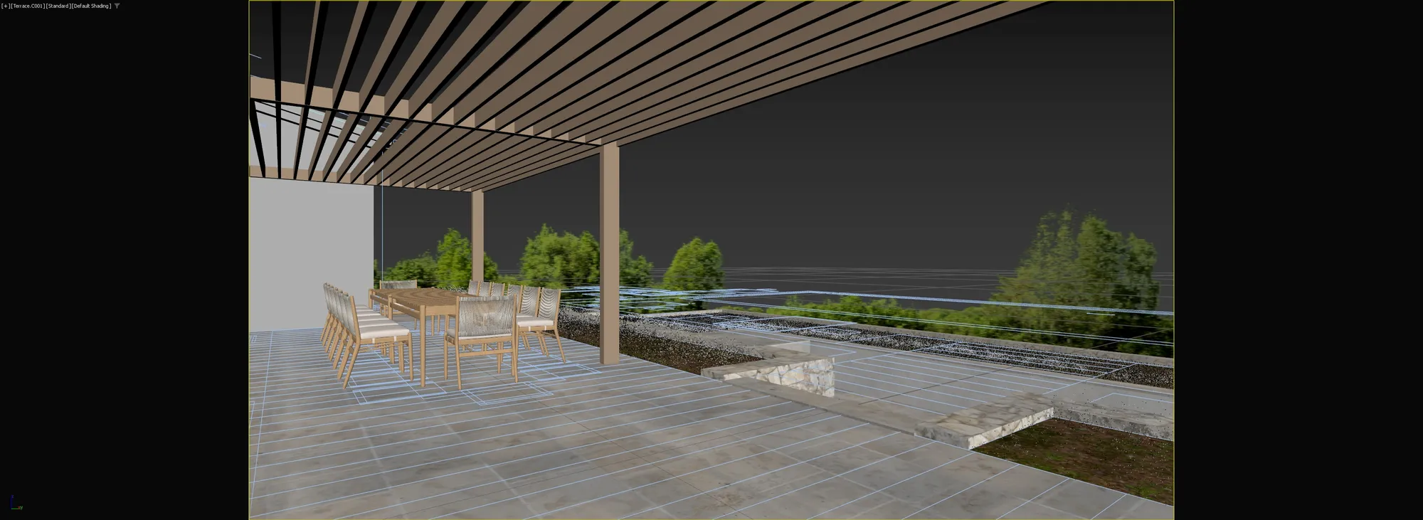
Submission images go on a public register and are read next to the officer's report and whatever objection letters have arrived. So they have to be referable: numbered, each tied to a marked position on the site plan, so a recommendation can cite view 04 and the room is looking at the same frame.
Viewpoints get agreed with you, or against the authority's schedule, before anything is rendered. Members who know that road have stood on it, and if the frame does not match what they remember, the meeting stops being about your scheme.
02
The consultation evening
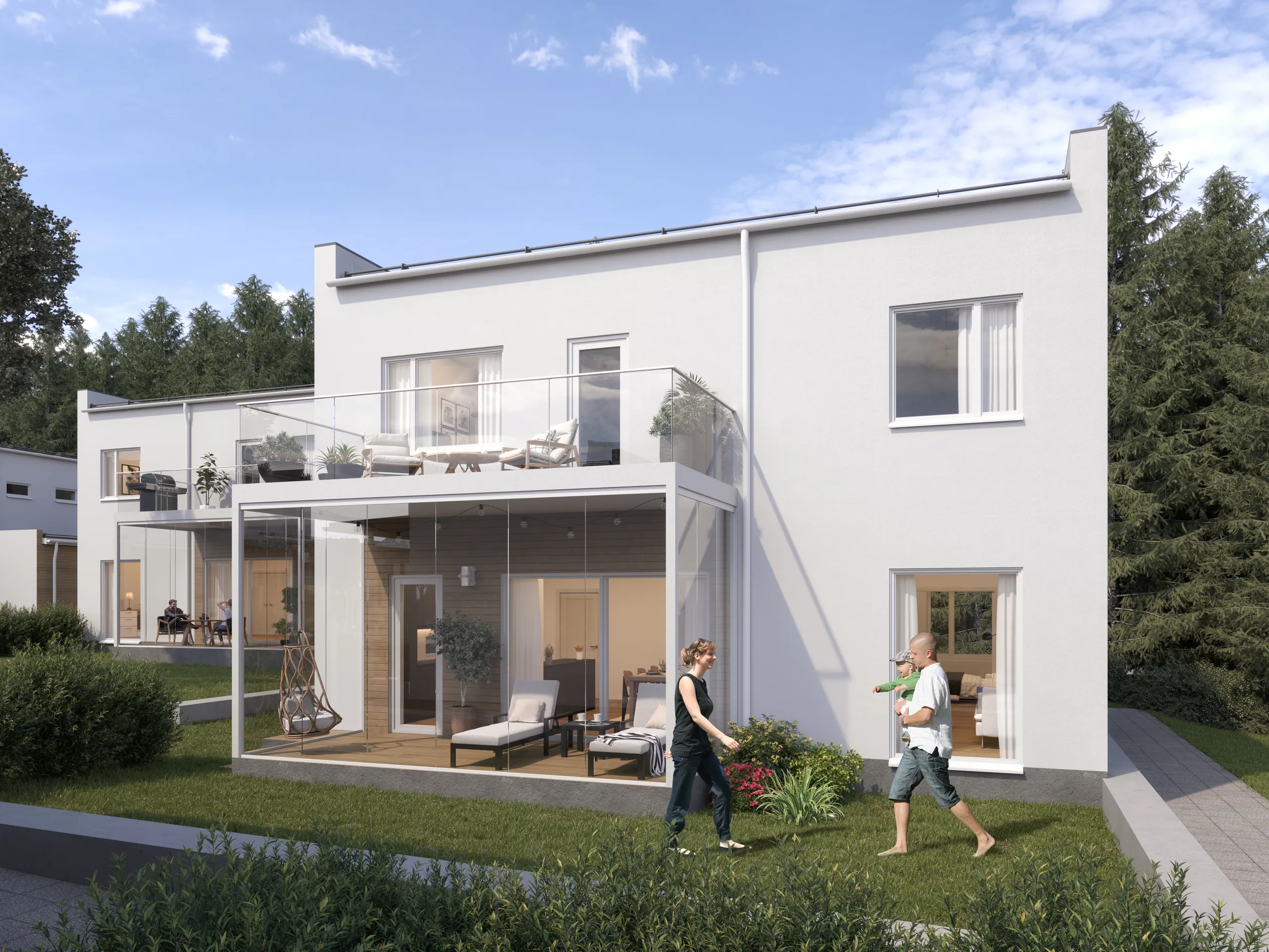
A public meeting is a room of people who did not ask for your scheme and have mostly decided how they feel about it. Flattering images make that worse: the first person to spot the flattery gets the room for the rest of the night.
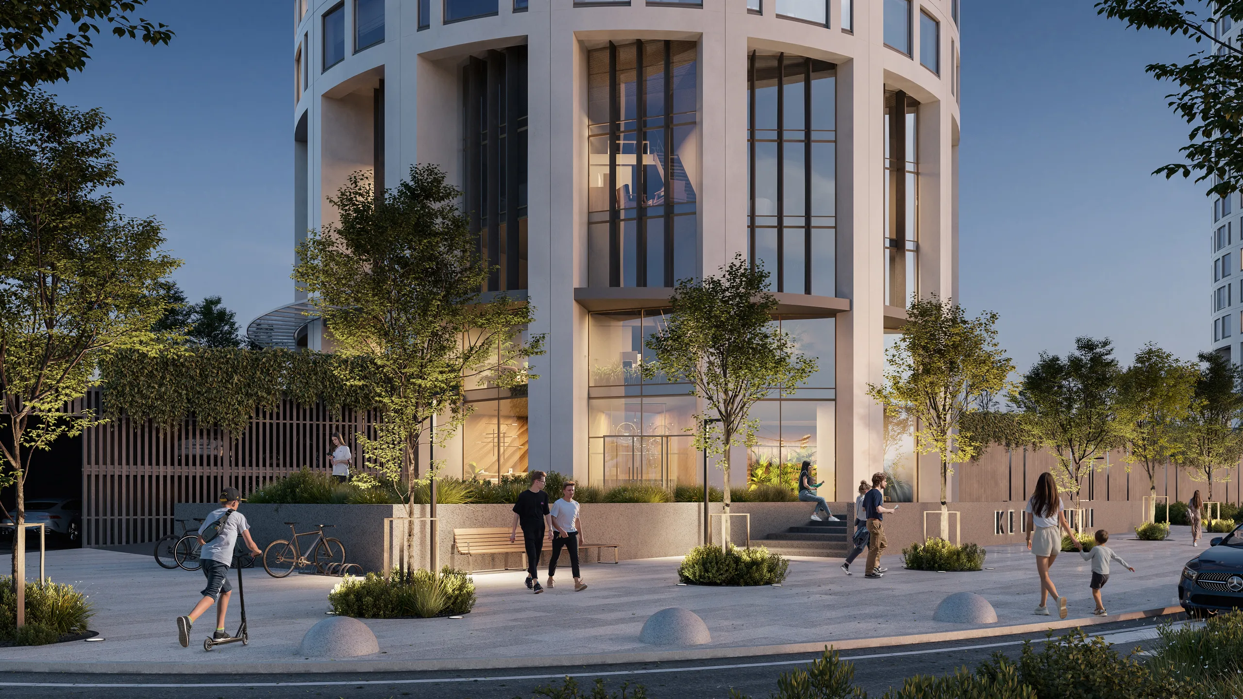
What works is eye level, ordinary weather, real ground level, and the public realm at the size a person walks through it. A board people can stand in front of and argue with honestly is worth more than a hero shot they distrust.
03
The scheme as one thing
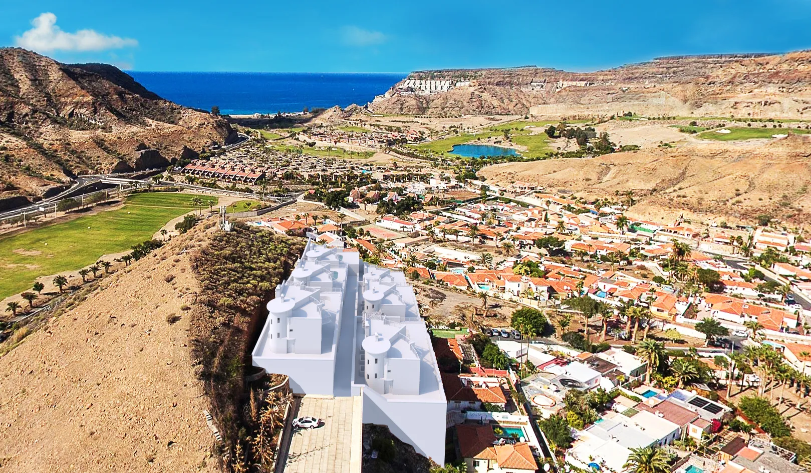
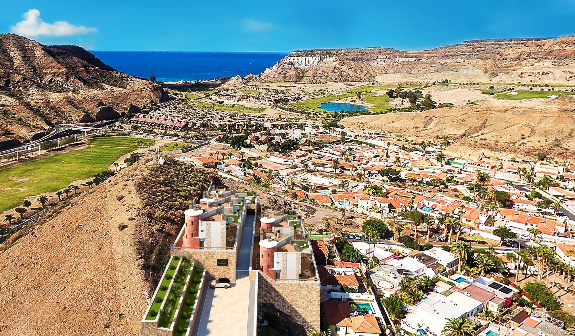
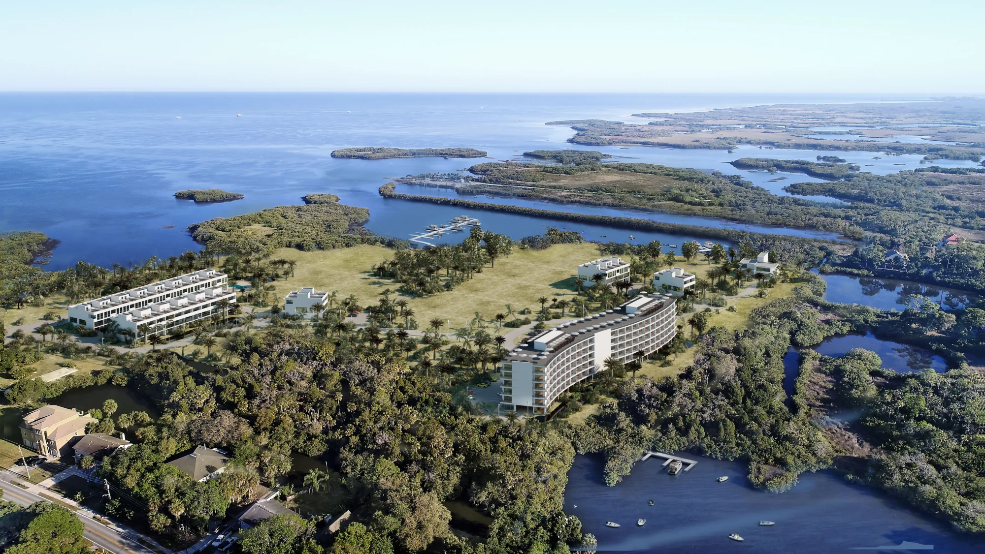
Every eye-level frame answers one objection from one position. The aerial is where the scheme gets judged whole: how it meets the streets already there, where one phase stops and the next starts, and what somebody two roads away will be looking at. That is city visualization as much as it is architecture. Plans carry all of that, and almost nobody in the room reads plans that way.
It draws on the same working scene as the street views, so the two agree. Splitting an aerial and a viewpoint set across two suppliers is how a submission ends up contradicting itself in public.
Four kinds of image, one model underneath
A submission, a consultation and a sales launch want different frames. They should not need different models, or the pack ends up with numbers that do not match.
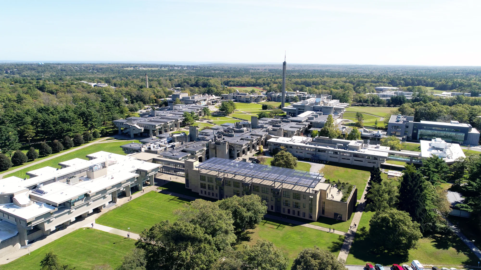
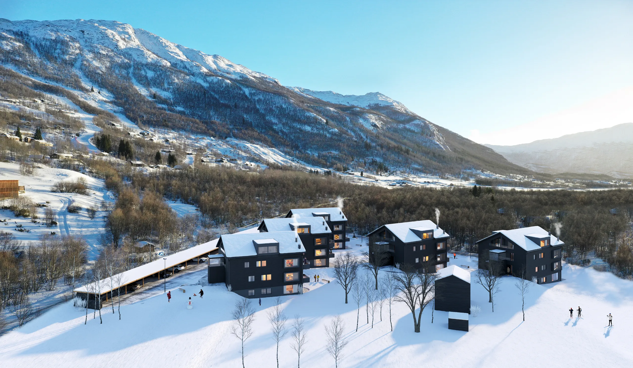
Masterplan aerials
The whole site in one frame: boundary, access, roofscape, landscape and the neighbours it has to sit next to. The image the plans cannot replace.
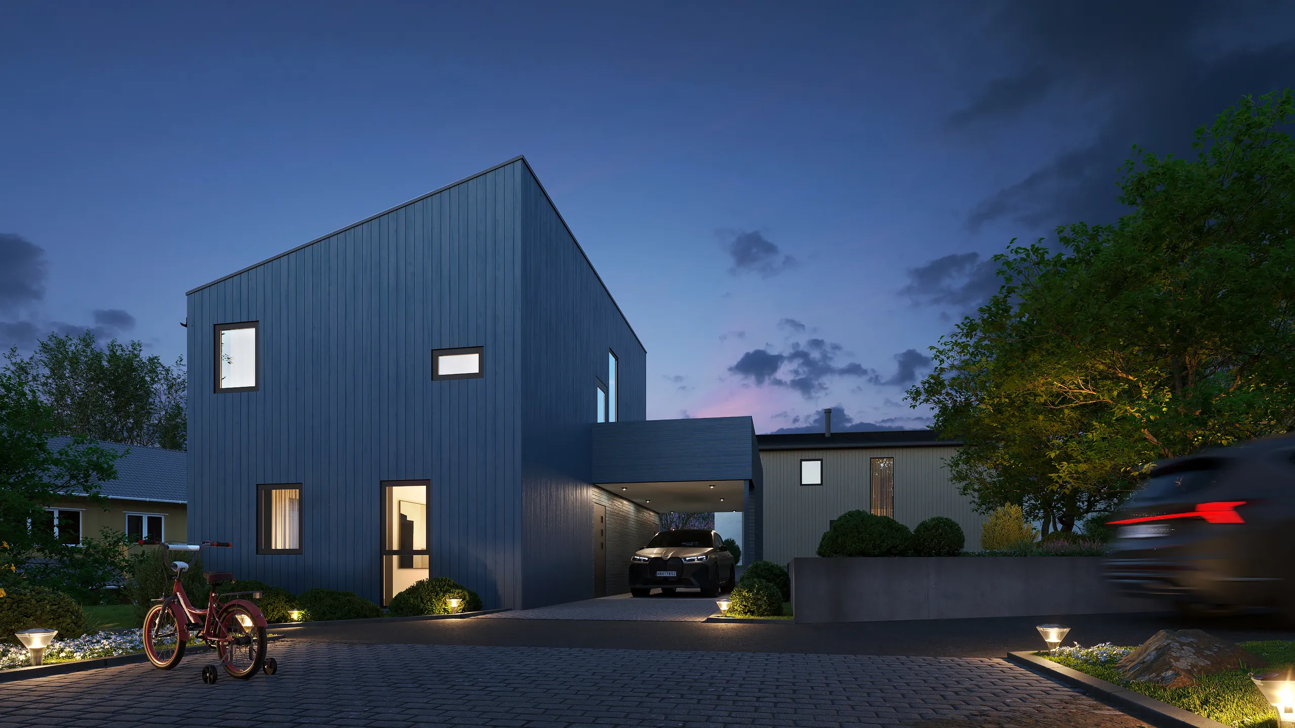
Eye-level viewpoints
The view from the corner people actually stand on, at the height a person actually is. Numbered, agreed and recorded before the camera moves.
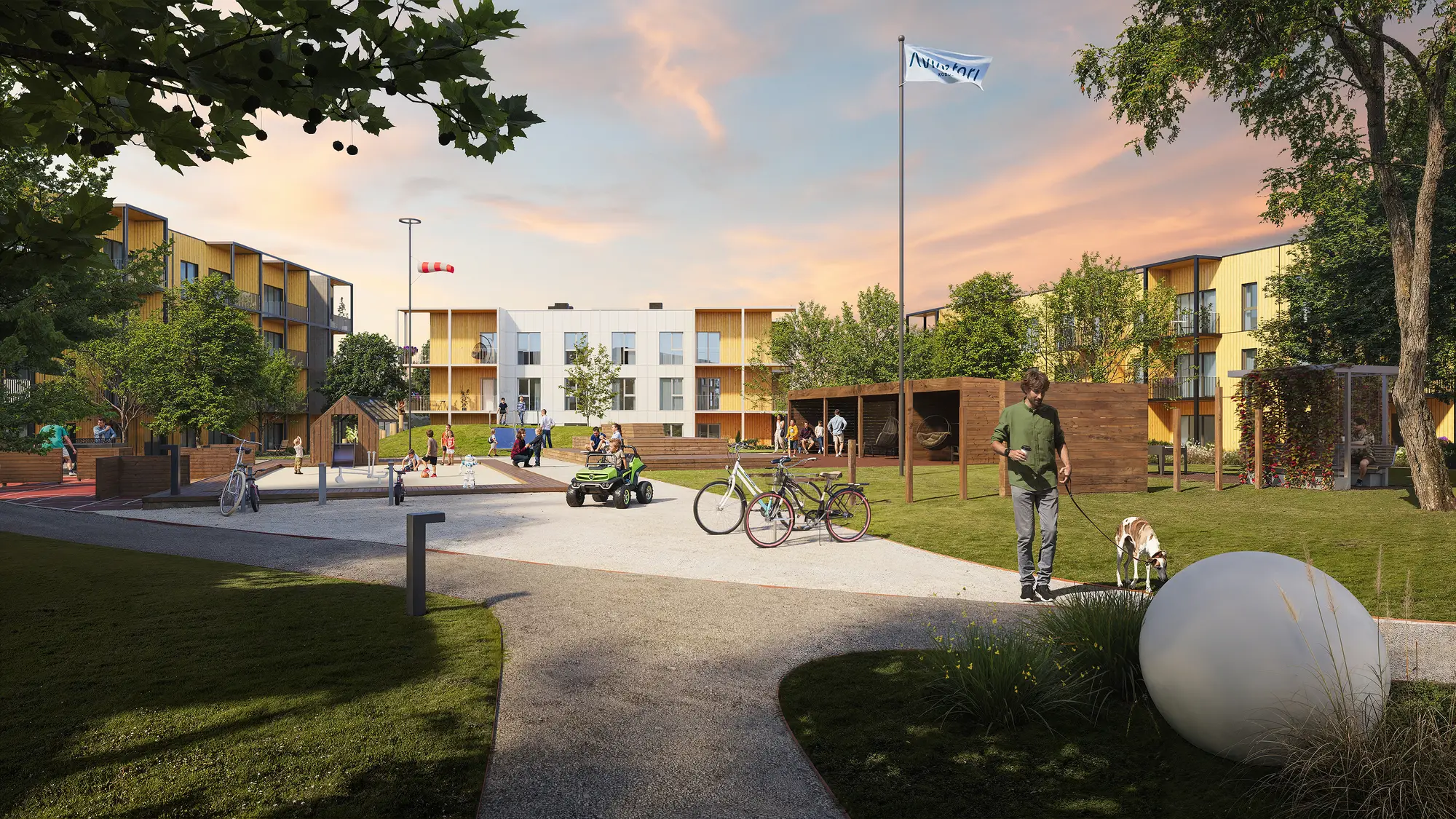
Public realm and landscape
Squares, paths, planting and the ground between the buildings. The part a consultation asks about first and most submissions render last.
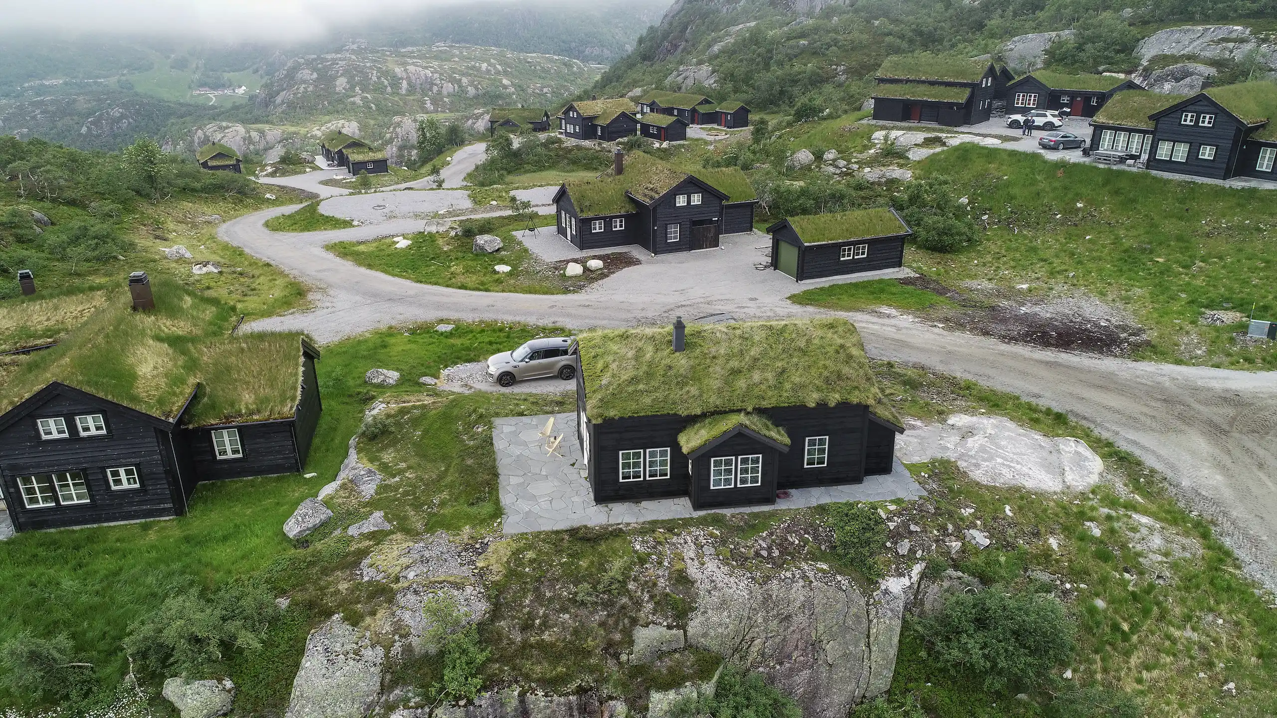
Phasing and comparison sets
Same camera, same light, across existing, phase one and complete. A set that changes the weather between frames is not a comparison.
Three briefs, one working method
Outline, full and revised submissions all draw on the same site model. What changes is how much rigor the stage demands.
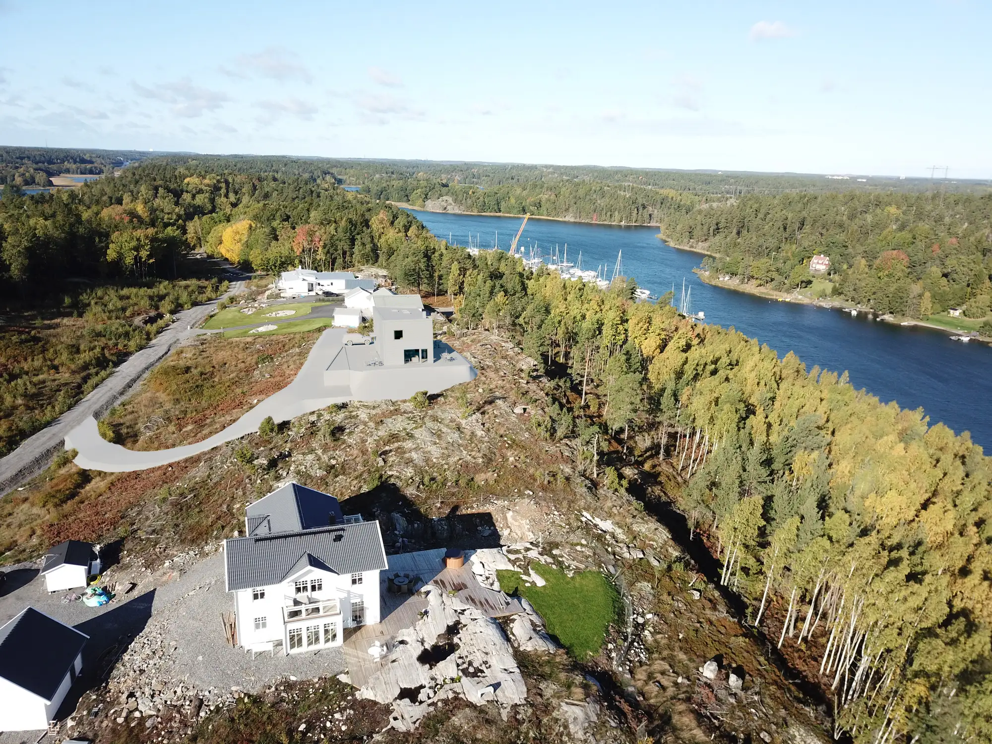
Outline and massing
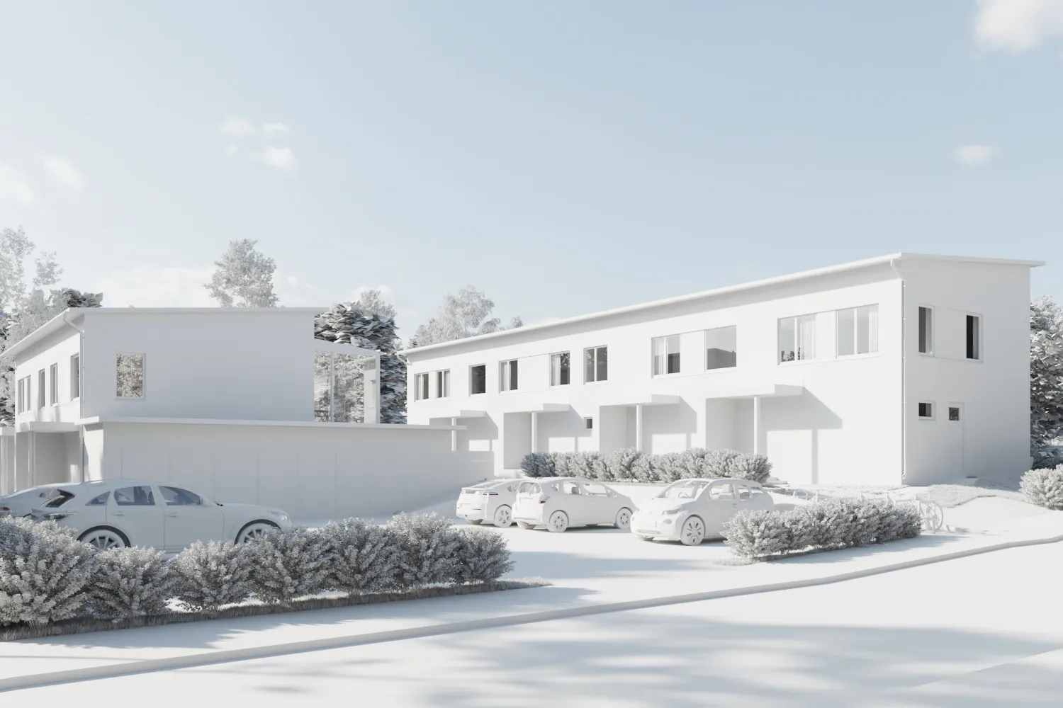
Before a scheme is drawn in detail, a pre-application meeting or an early consultation usually wants an honest answer to one question: how does this sit against what is already there. An untextured clay aerial answers it without pretending to be a finished material choice.
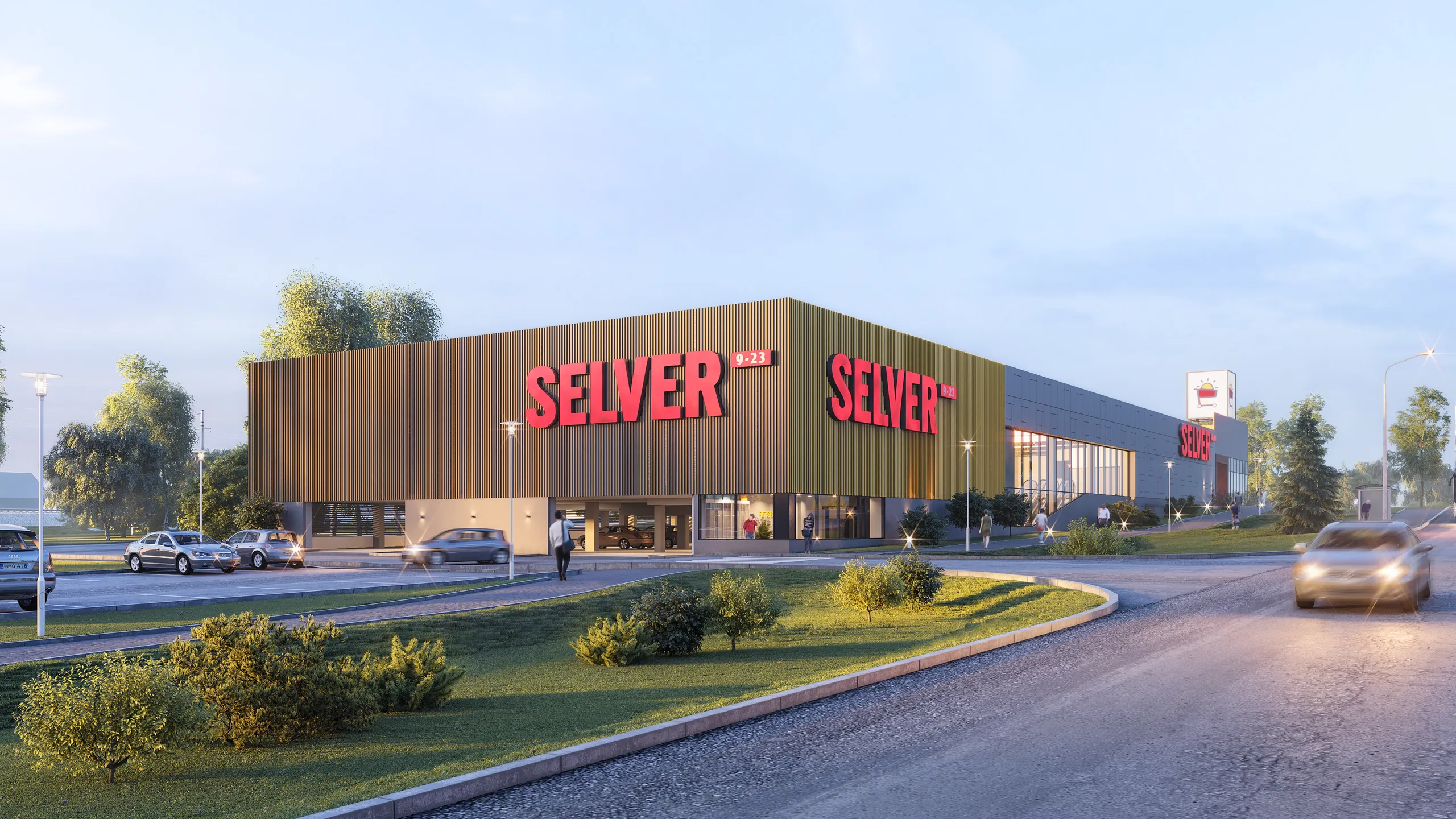
Full submission and committee pack
The bulk of the work on this page: numbered viewpoints tied to a site plan, an aerial that reads the whole scheme, and a public realm set built for the officer's report and the meeting that follows it.
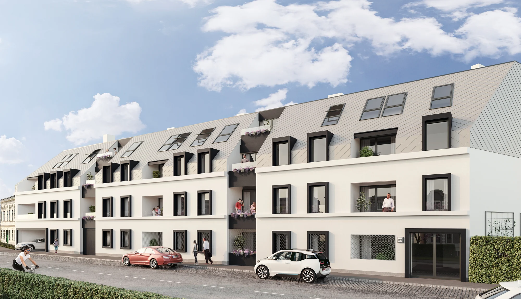
Resubmission, without starting over
A refusal, or a revised recommendation after consultation, does not mean rebuilding the scene. Context, cameras and light are already set, so a resubmission is a new set of frames from the existing model.
A studio partner, not a render farm
European delivery, workable time zones
An Estonian studio working since 2013 across the Nordics, the Baltics, Europe, the UK, the US, Canada and Australia. Comments in the evening, a revised frame by morning.

Confidentiality as standard
Unconsented schemes, competition entries and unannounced launches are commercially sensitive. We work under NDA without being asked and never publish a project without permission.

You brief the artist, not a queue
No account-manager layer. Send the files, get a real number, talk to the person building the scene. Fewer hand-offs is why the first preview lands closer to right.
One consistent visual language
Across a set, or across years of repeat work, the light, materials and camera discipline hold. Ten freelancers cannot do that, and it is visible on page four of a brochure.
Three decisions worth making early
How many viewpoints the authority actually wants
A schedule with two views and one with fourteen are different jobs. Ask the case officer directly if none has been issued yet: guessing high wastes budget, guessing low means a second round before the deadline.
What to disclose about assumptions
Where the survey stops, an assumption starts. Naming it in writing next to the image, before anyone else finds it, is worth more to a committee than a flawless render with something quietly missing.
Whether the scheme is likely to change
A scheme that is still moving after submission is normal. Keeping the scene, rather than treating each round as a new project, is what makes a second set fast enough to hit a re-consultation deadline.
Four stages, whatever you commissioned
Brief
Brief and fixed quote
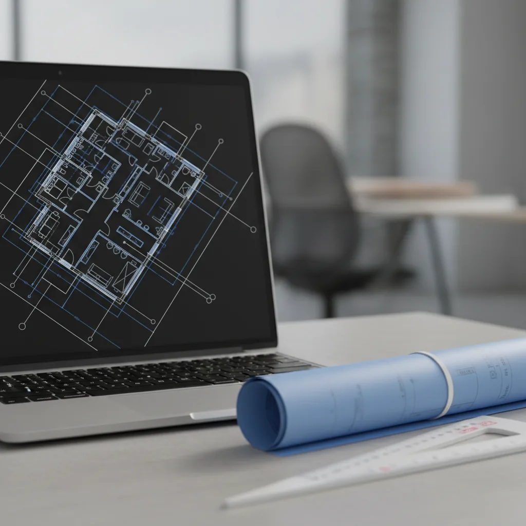
Upload CAD, PDF, Revit or SketchUp files, or a photo of a sketch. We prepare the brief from your files, so there is no questionnaire. You get a reply within 30 minutes: one fixed project price and a delivery date, or the 1-2 questions we need answered first.
Days 1-3
Clay model
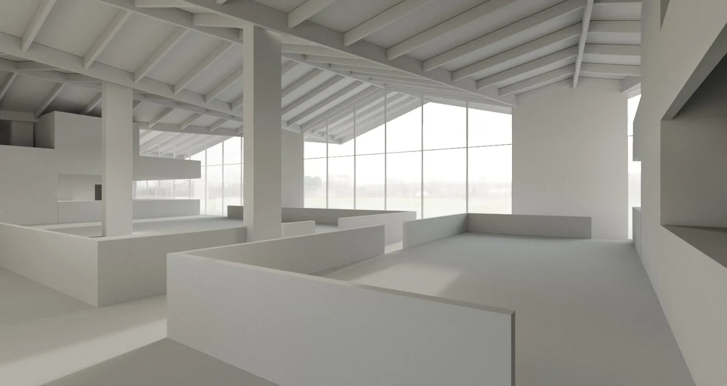
We build the 3D model without materials and place the camera. The viewpoint, lens, height and time of day are agreed on this grey model, when changes are quick and cheap.
Week 1
Preview render
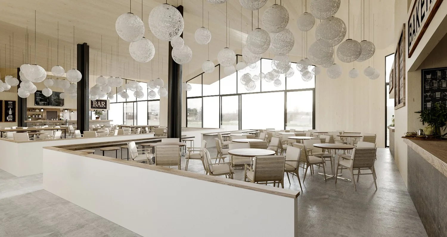
The same view with materials, lighting and surroundings added. You see it early, while the light and the finishes can still be changed easily. 2 revision rounds are included, and we keep refining until you approve.
Delivery
Final render
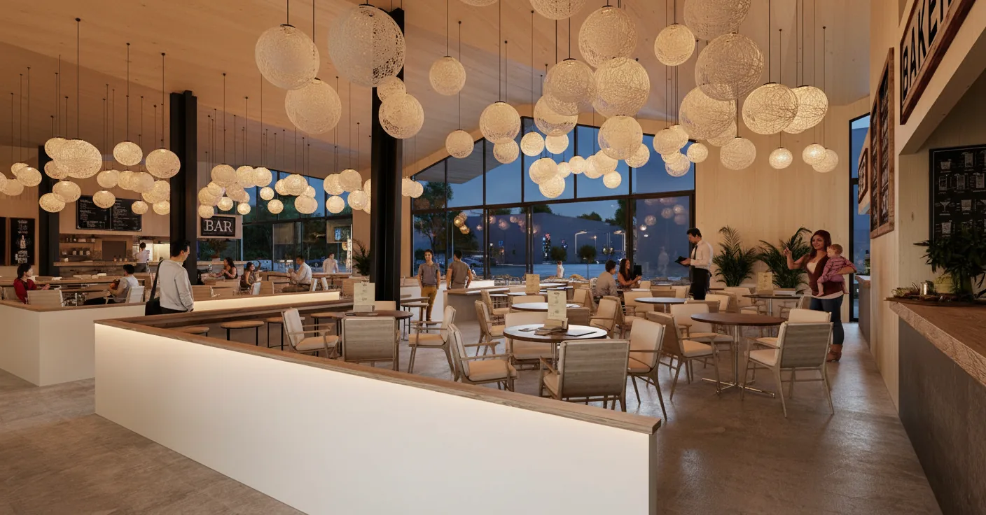
The approved image, fully finished and delivered in 4K, with larger sizes for print on request and full usage rights. Every further view in the set uses the scene already built, so each extra image costs much less than the first.
Sites, not just buildings
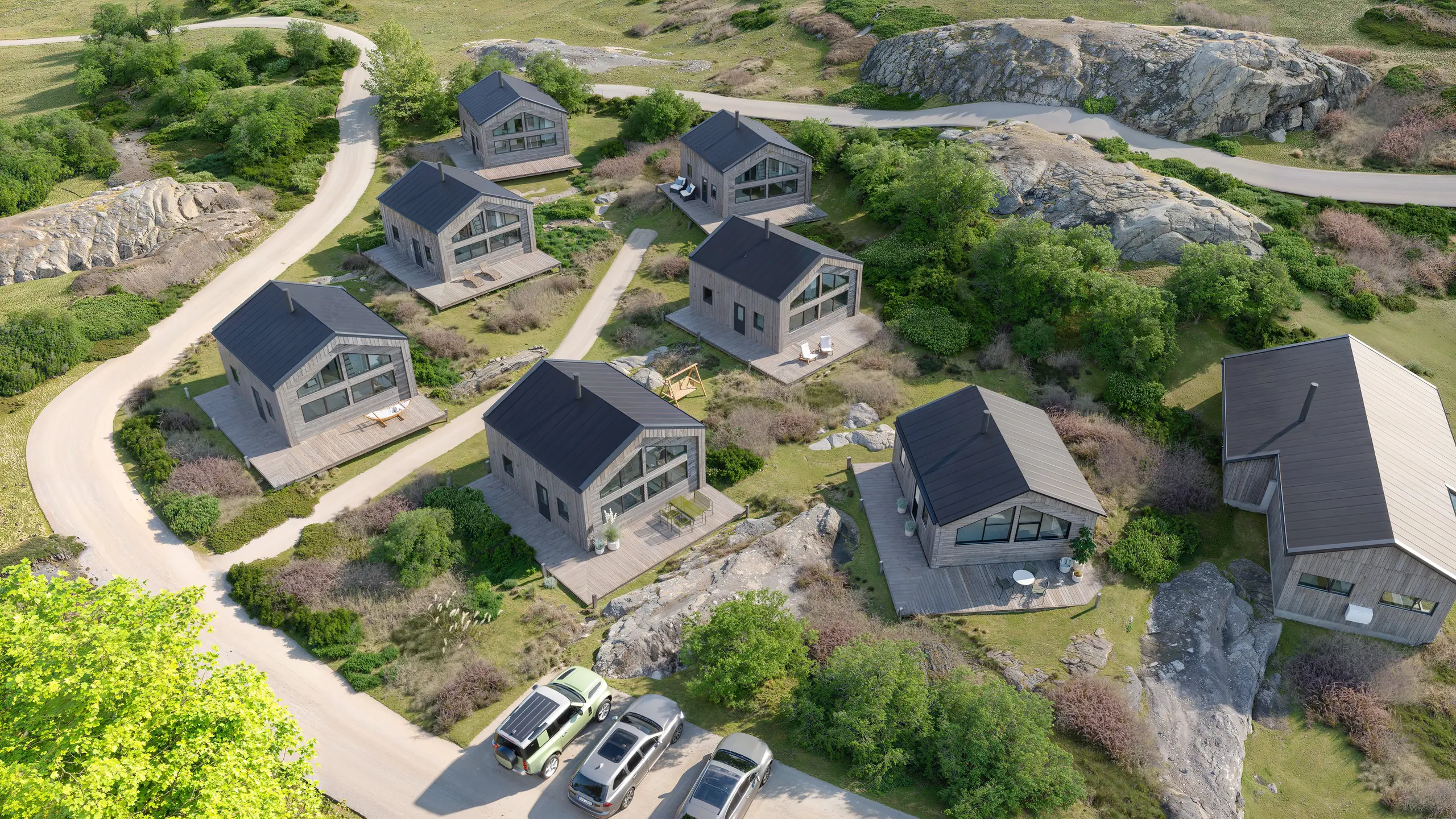
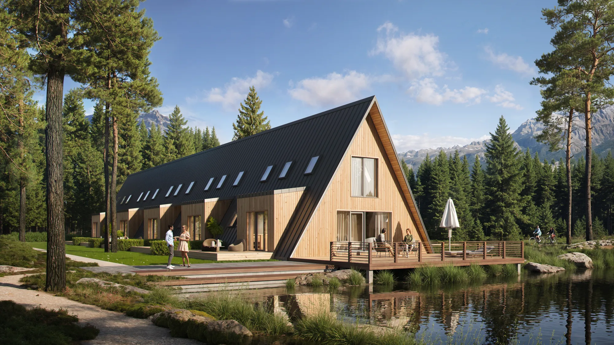
Schemes where the ground, the boundary and the neighbours were as much of the job as the architecture.
What moves an urban planning rendering quote
Priced per project, not per image. This is what changes the number.
-
Size and complexity of the site
A single infill plot and a forty-hectare masterplan are different jobs. The site boundary and how much of the surrounding area has to be recreated set the scene-build cost before a viewpoint is counted.
-
Number of viewpoints
An authority's schedule might specify two views or fourteen. Each one shares the same underlying scene, so the second view costs less than the first, and the twelfth costs less again.
-
How complete your survey is
A topographic survey and cadastral extract get us straight to modelling. Missing information has to be approximated and disclosed, which adds time even where it does not add much to the fee.
-
How many rounds the process needs
A scheme that changes after consultation is a revision to an existing scene, not a new build, so later rounds are priced well below the first.
Free guide
The Urban Planning CGI Buyer's Guide
What moves the quote, and what to send to get it fast.
- What moves an urban planning quote up or down
- The exact survey and drawings that get you a reply within 30 minutes
- Agreeing viewpoints with the authority before anyone renders anything
- No committee-style questionnaire before the number lands in your inbox
Opens the upload form. Send what you have; no sales call.
How we plug into your workflow
Planning work arrives messier than a marketing brief and usually with a submission date already fixed. Nothing below assumes a tidy file set.
What we accept
Site informationTopographic survey, site boundary, a cadastral or OS extract, and photographs from the viewpoints that matter
The schemeMasterplan drawings, block plans, sections, storey heights, or a SketchUp, Revit, ArchiCAD or CAD model
ViewpointsThe authority's viewpoint schedule if there is one. If not, we propose a set and you sign it off before we render
ContextWhatever exists: point cloud, drone photography, a city model, consents already granted next door
ConstraintsHeights, protected views, tree preservation, phasing. Anything the image must not quietly contradict
What you receive
Aerials and viewpoints4K as standard, larger on request, sized for A1 exhibition boards and for the submission PDF
An assumption noteA short written list of what we assumed where your information ran out, so it is disclosed rather than discovered
Board and print cropsEvery aspect ratio cut from the one scene: boards, the design and access statement, the site hoarding, the press release
Camera dataPosition, height and lens for every viewpoint, so a view can be checked against the survey later
The sceneKept and reused. The post-consultation revision is a change to an existing model, not a new project
What else the same site model produces
Exterior rendering
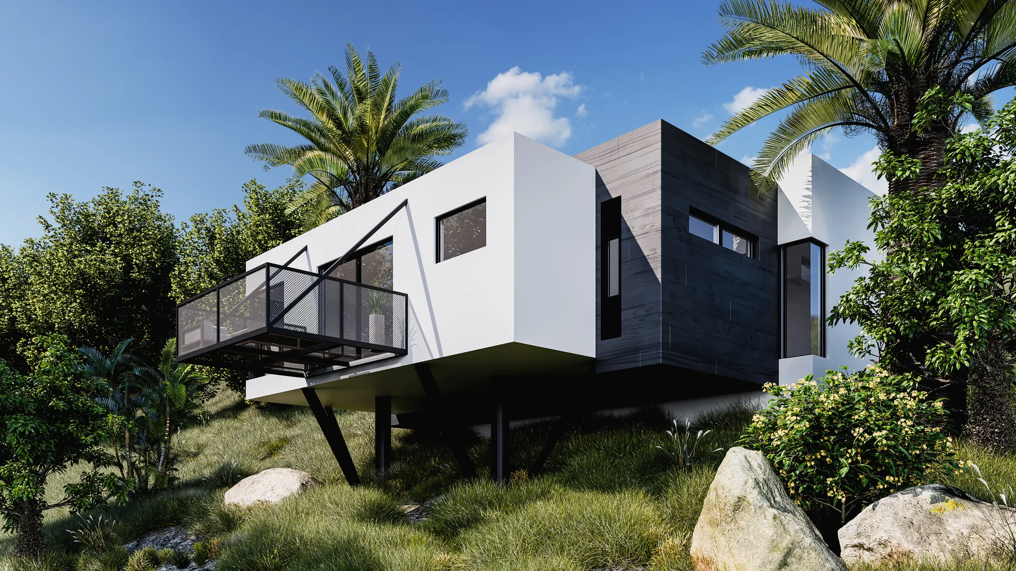
Individual buildings inside the masterplan, at the detail a sales launch needs.
Exterior rendering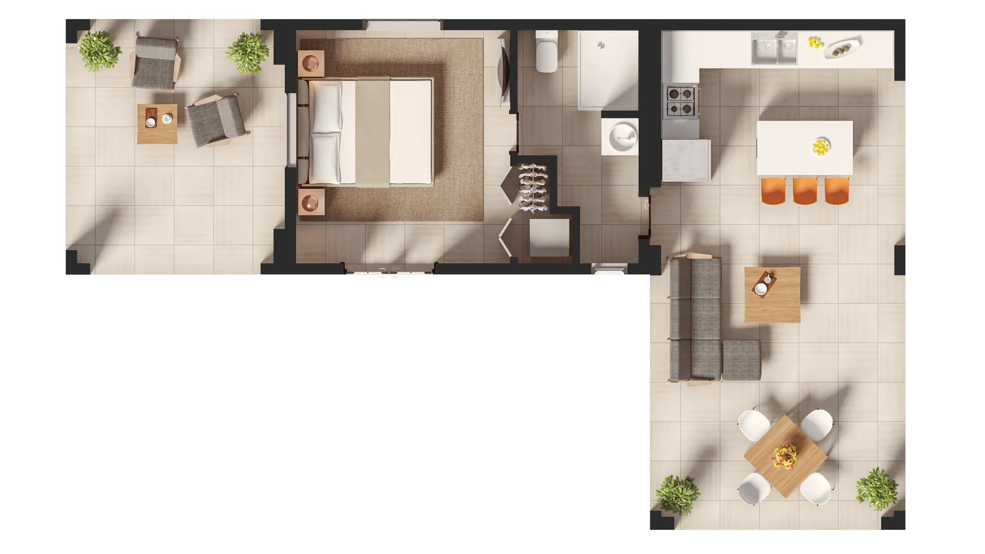
Site plan rendering
The drawn version: coloured, labelled and readable by someone who is not an architect.
Site plan rendering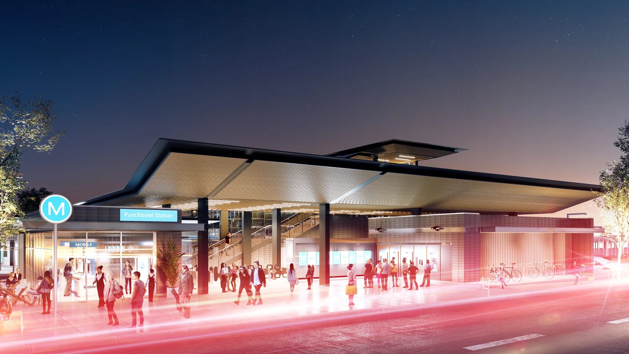
3D animation
A flythrough for the consultation evening and the committee screen, cut from the same scene.
3D animation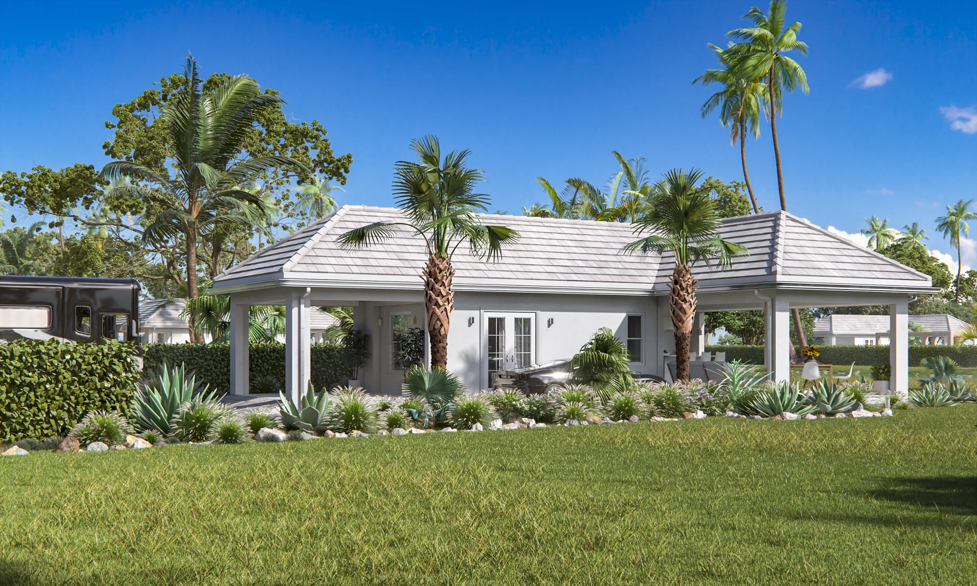
Architectural visualization
The full range, for when the scheme also needs interiors and a marketing set.
Architectural visualization3D rendering for urban planning FAQs
The questions we are asked most before a project starts. Still unsure? Send the drawings and we will tell you what we would do with them.
Ask us directlyWhat is masterplan visualization?
Rebuilding a whole site, rather than a single building, as a 3D model, and producing the images a planning process needs from it. The proposed blocks come off your masterplan drawings, the surroundings off survey and photography, and the two are held to the same ground level so the scheme sits in the real place at the real height. The outputs are aerials, eye-level views from agreed positions, public realm images and phasing sets.
Will the images stand up in front of a planning committee?
That is what the method is built around. Neighbouring heights come from survey rather than from eye, planting is shown at handover size unless you ask otherwise, cameras stand where the schedule says and we send you the coordinates we used. Where information was missing we write the assumption down and hand it over with the images, so you disclose it yourself instead of having it found for you.
Do you produce verified views or accurate visual representations?
We build to camera positions a surveyor gives us, and we return the position, height and lens used for every frame so the view can be checked against the survey afterwards. The on-site survey, and the third-party sign-off some authorities require before a view counts as verified, come from a surveyor rather than from us. Say at the quote stage which standard applies, because it changes what we need from you.
How do you show planting and landscape?
At handover size by default. Semi-mature stock is drawn at the height it will actually be delivered at, not at the height it reaches in twenty years, because a canopy that could not exist on day one is an easy thing for an objector to point at. If you want the mature version as well, it comes as a clearly labelled second image, not quietly as the main one.
Do you model the existing surroundings, and from what?
Yes, and on a planning scheme that is usually the larger half of the work. Survey, point cloud or an existing city model first. Failing that, drone or street photography plus a cadastral extract gets most of the way. We will also ask about consents granted next door, because a scheme judged against a context that is already out of date is an argument you do not want.
The scheme will change after consultation. Does that mean starting again?
No. The scene stays with us, assembled, so a revised massing, a storey removed or a repositioned block is a change to something that already exists. Context, cameras and light are still set, which is why the second round costs a fraction of the first and why the before and after images are truly comparable.
How long does a masterplan set take?
A single aerial is about a week. A submission set of six to twelve images runs two to three weeks. The long part sits at the front, because the context has to exist before anything can be judged against it, so send the survey early even if the scheme is still moving. You see an untextured clay view within days, which is where massing, ground level and cameras get settled.
How is it priced?
Per project rather than per image. The drivers are the size of the site, how much context has to be recreated, the number of viewpoints and how complete your survey is. Further views of a site that is already built cost markedly less than the first. Send what you have and you get a reply within 30 minutes: one fixed number and a date, or our questions, with full usage rights included.
Can we use the images beyond the submission, and who owns them?
They are yours outright, no per-use licence attached. A set built for a committee pack works just as well on the site hoarding, the marketing launch once consent is granted, or a future phase's own submission, because it comes from the same kept scene. We do not publish a project without your permission, since a scheme is often confidential until it is formally submitted.
Can you work on a project in my country?
Yes. We have worked remotely since 2013 and delivered into 17 countries, across the Nordics, Europe, the UK, the US, Canada and Australia. Planning work travels well: survey, drawings and the viewpoint schedule arrive as files, images and camera data go back the same way. What changes by country is the verification standard, so name it at the quote stage.
Send the survey and the scheme, get a fixed price before the submission date
Planning consultants, developers and authority teams: one number and a delivery date, a reply within 30 minutes, viewpoints agreed before anything renders.
We take a limited number of projects each month.