

Site plan rendering
for whole sites and masterplans
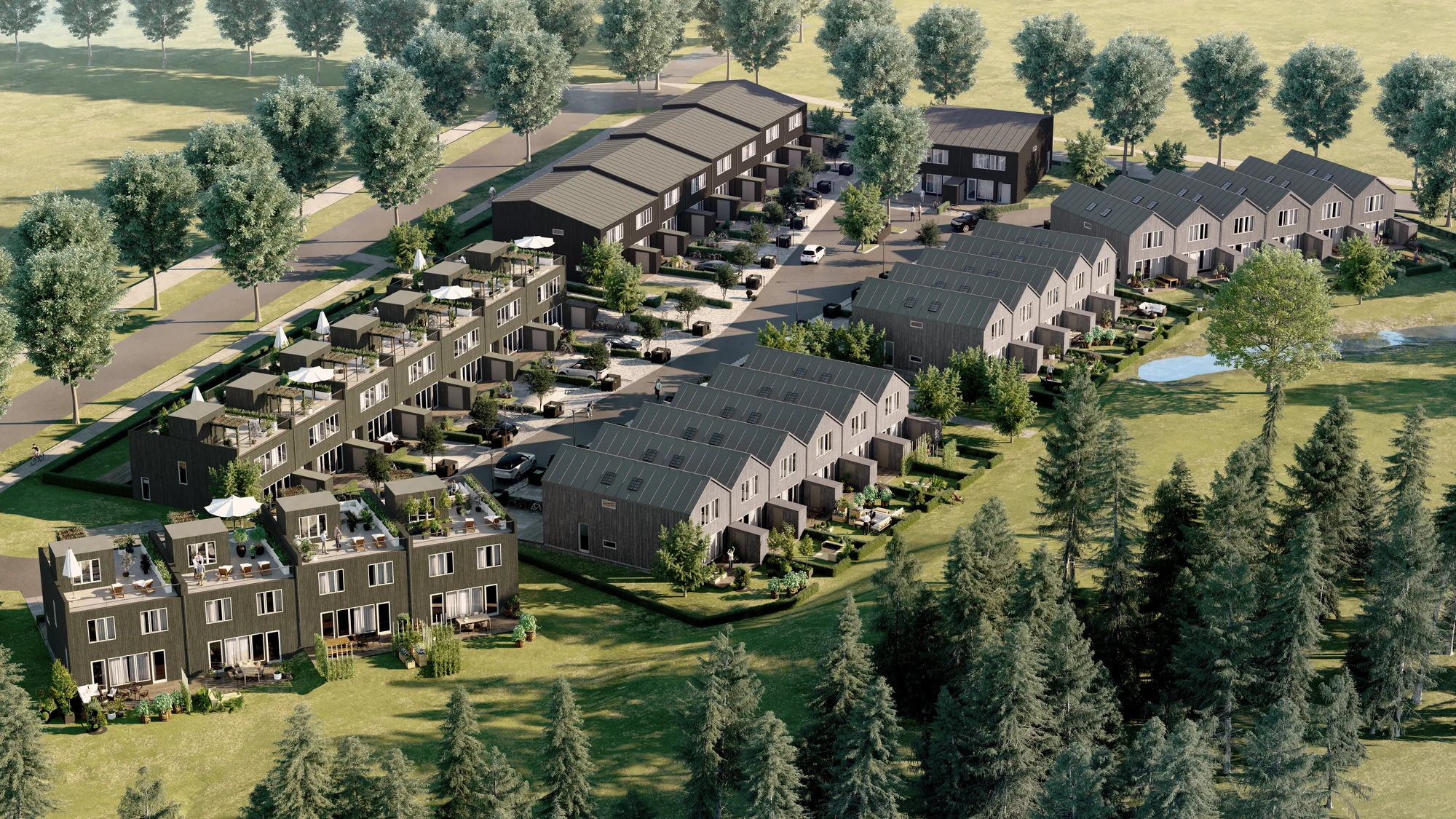
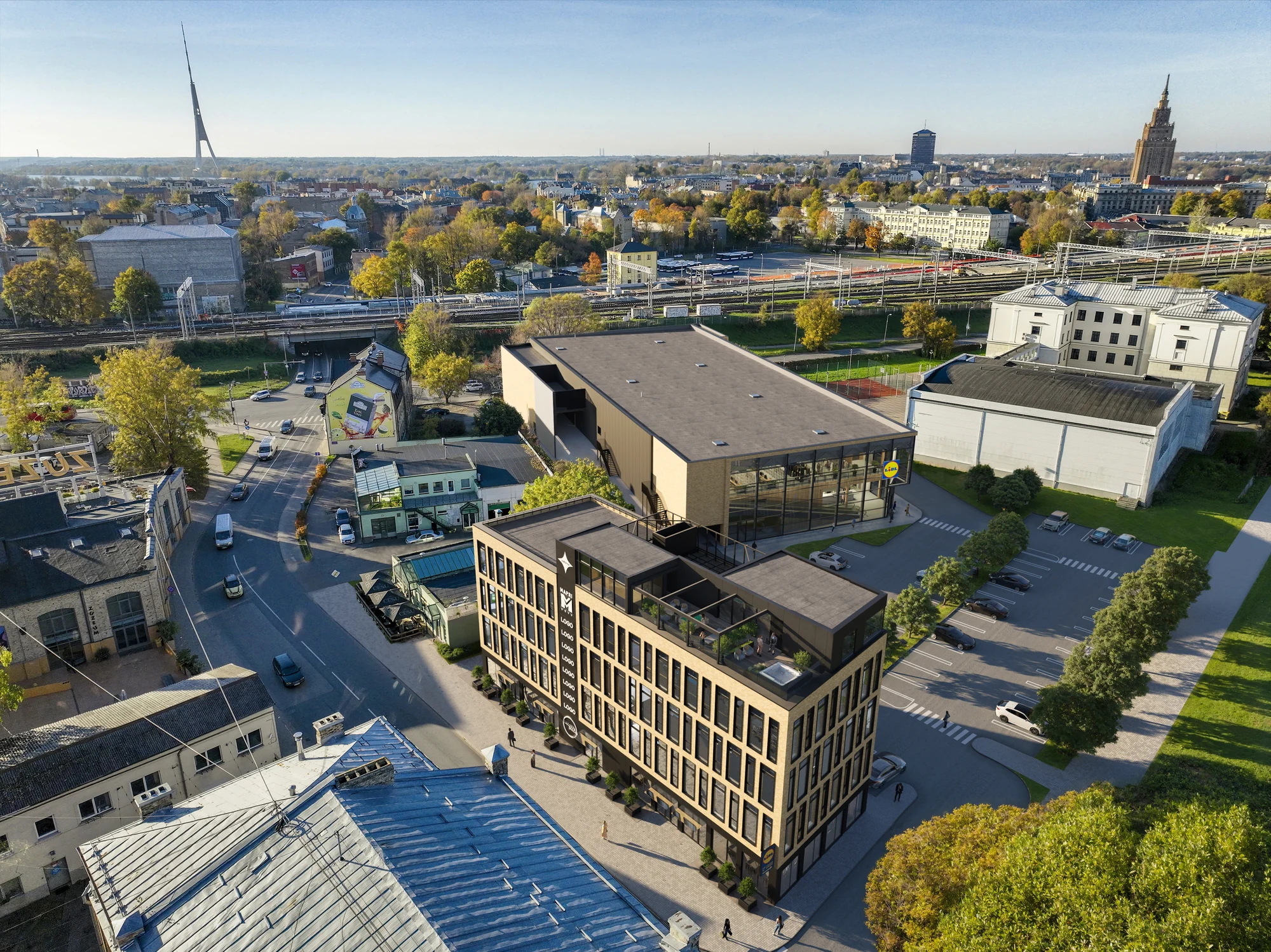
Your site built as one 3D model, with the roads, landscaping and neighbouring buildings around it, and rendered from above as an aerial view, a top-down site plan or a photomontage over a drone photograph.
- Aerial views and top-down 3D site plans from one model
- Fixed price for the project, reply within 30 minutes
- The real surroundings: roads, trees, neighbours and ground levels
We take a limited number of projects each month, so every site is checked against your drawings before it goes out.
1,247
Projects completed
13
Years in business
17
Countries delivered to







★★★★★
Rated 4.9 on Clutch · See our reviews



125 of 220 clients came back
More than half of our clients have hired us again
The short version
What is a site plan rendering?
An image of the whole plot seen from above: the buildings, roads, parking, paths and landscaping, and the neighbours around them, so a buyer, an investor or a planning committee can read the layout of a site in one frame.
A floor plan shows one building from the inside. A site plan rendering shows the whole site and everything around it.
There are two kinds. A 2D rendered site plan is a flat, coloured drawing, usually made over a CAD plan. A 3D site plan rendering is made from a 3D model of the whole site, so the buildings have height, the trees cast real shadows and the same model can be turned to any angle.
We make the 3D kind. The site is modelled once, with the proposed buildings from your drawings and the surroundings from maps, survey data or photographs, and every view of the site comes from that one model: a top-down plan, an aerial view from an angle, or a view from the street.
Site plan or aerial view
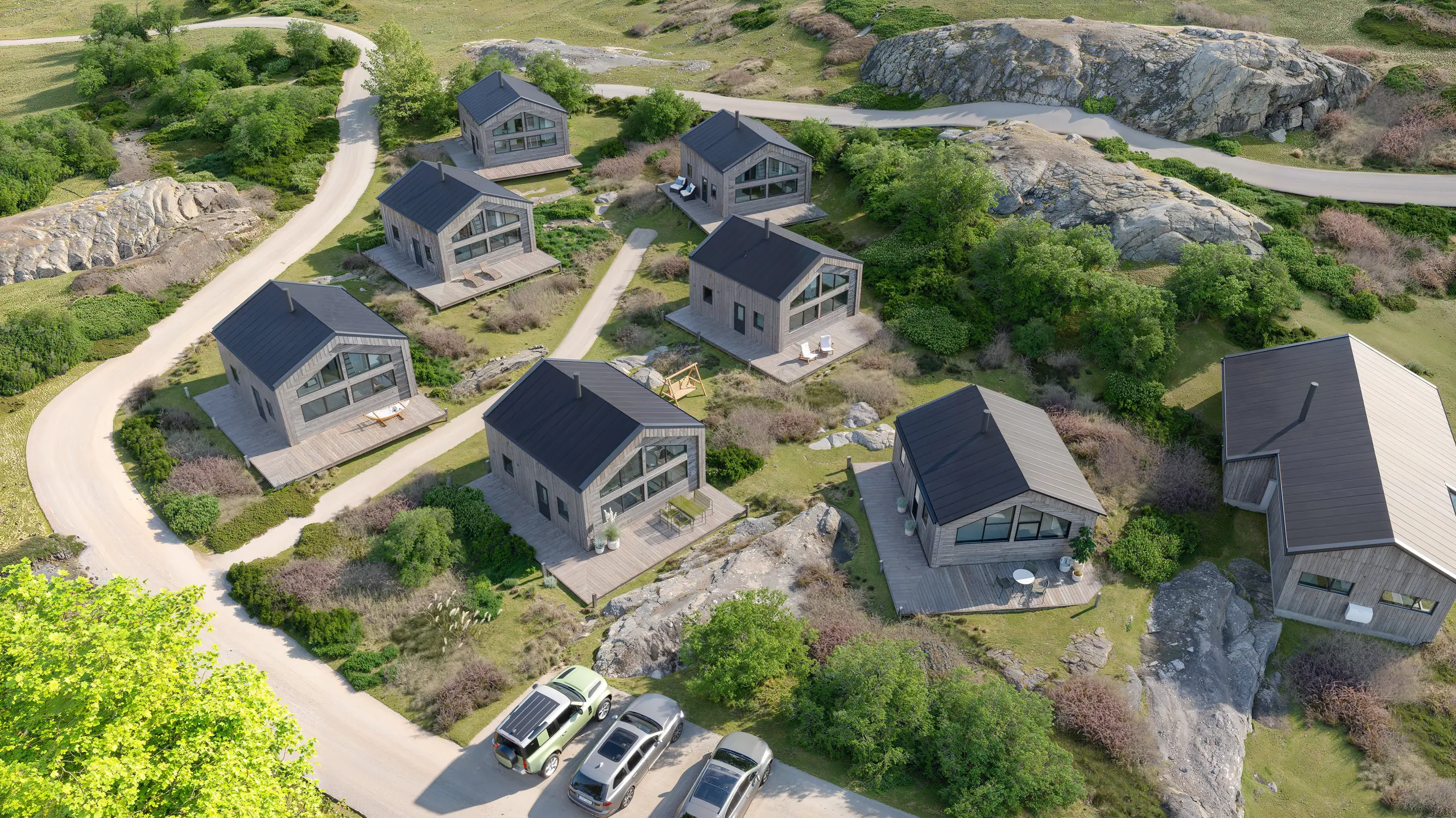
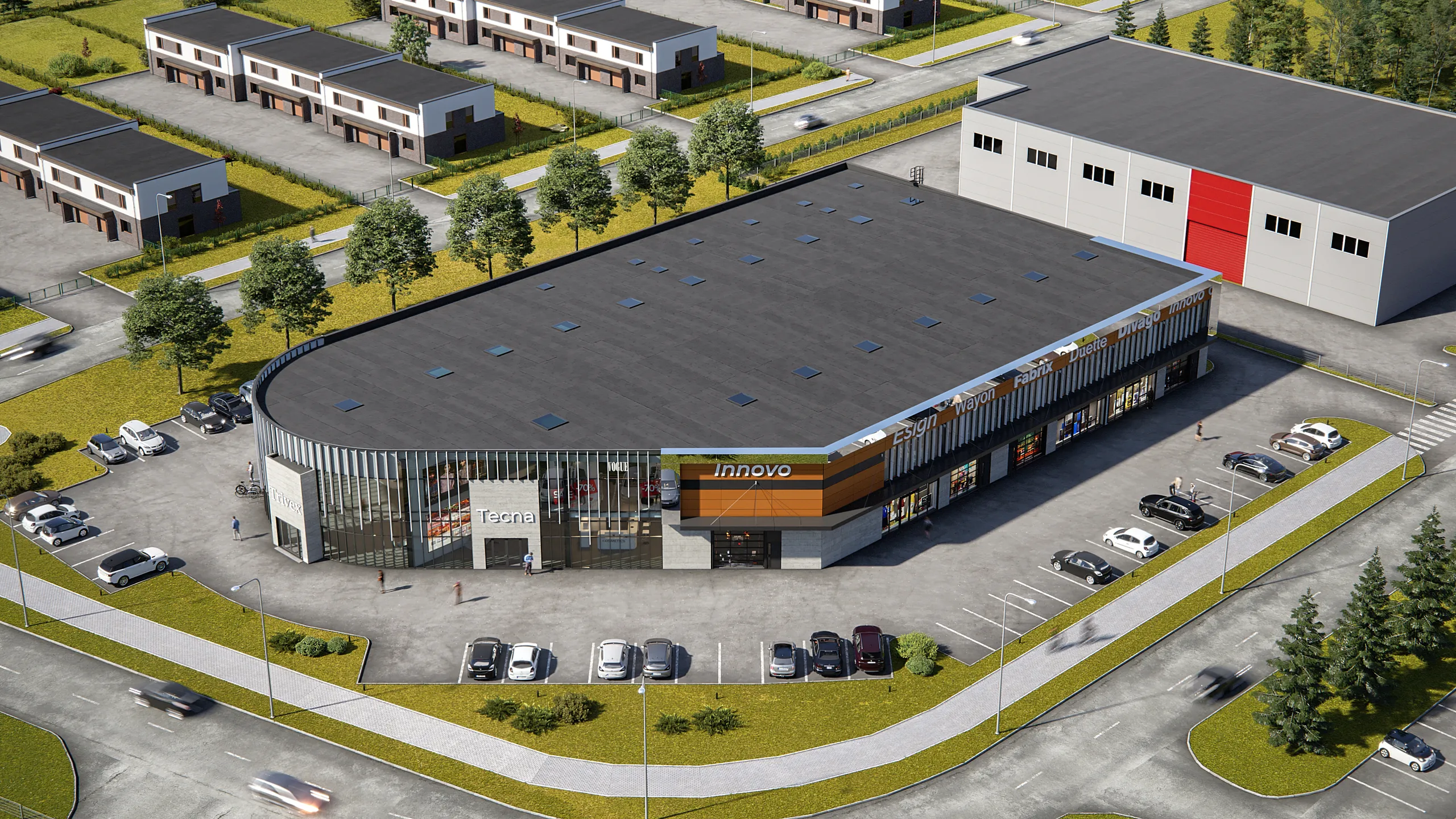
A site plan looks straight down or nearly straight down, so distances and the layout read clearly. An aerial view tilts the camera, so the buildings read as buildings and the surroundings reach the horizon. Most projects use both, from the same model.
A 3D model or a drone photograph
Usually the whole scene is a 3D model. If the site has already been photographed from a drone, the new buildings can be placed into that photograph instead, so everything around the scheme is the real place. This is called a photomontage.
Site plan or floor plan
A floor plan stops at the walls of one building and shows the rooms inside. If that is what you need, see 3D floor plans. Many projects order both.
Want to know what a quote depends on? The cost drivers are listed below, and how a site is built shows the steps.
What we make
Site plans, masterplan aerials and views in the real surroundings
Three ways to show a site from above, all from the same 3D model, so you can order one and add the others later.
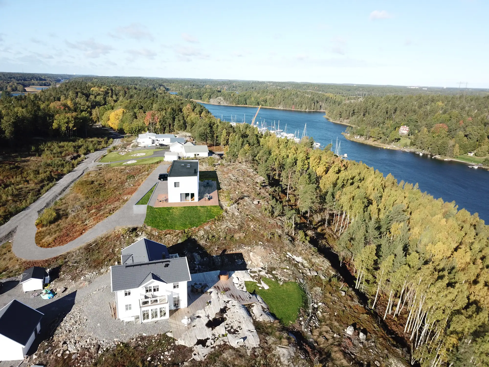
Aerial site plan
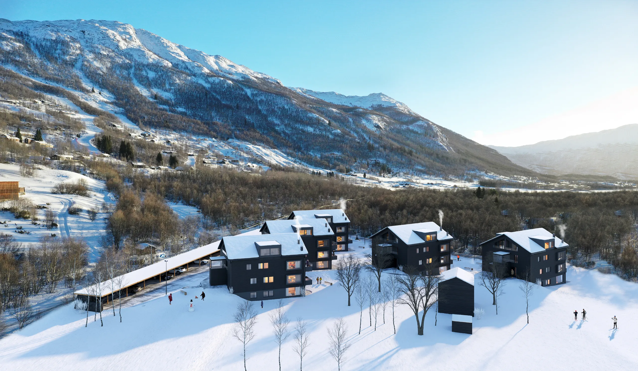
A high camera over one plot or one project, so every building, driveway, parking space and garden reads in one frame. Turned to look straight down, the same model gives a top-down site plan with real shadows and materials.
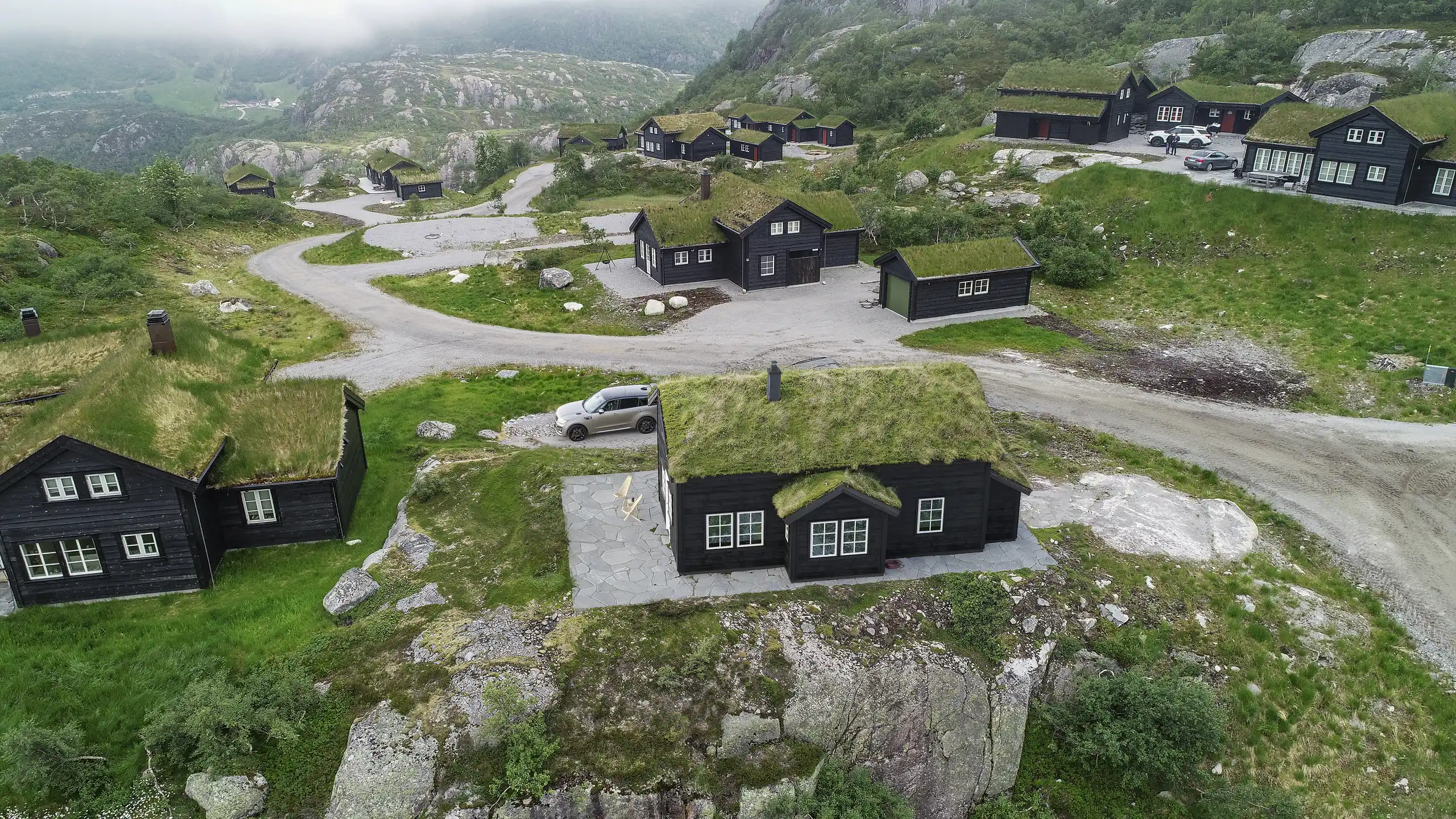
Masterplan aerial
A whole development, a neighbourhood or a resort from high above, with the roads and paths that connect it, for a masterplan, an investor deck or the first page of a sales brochure.
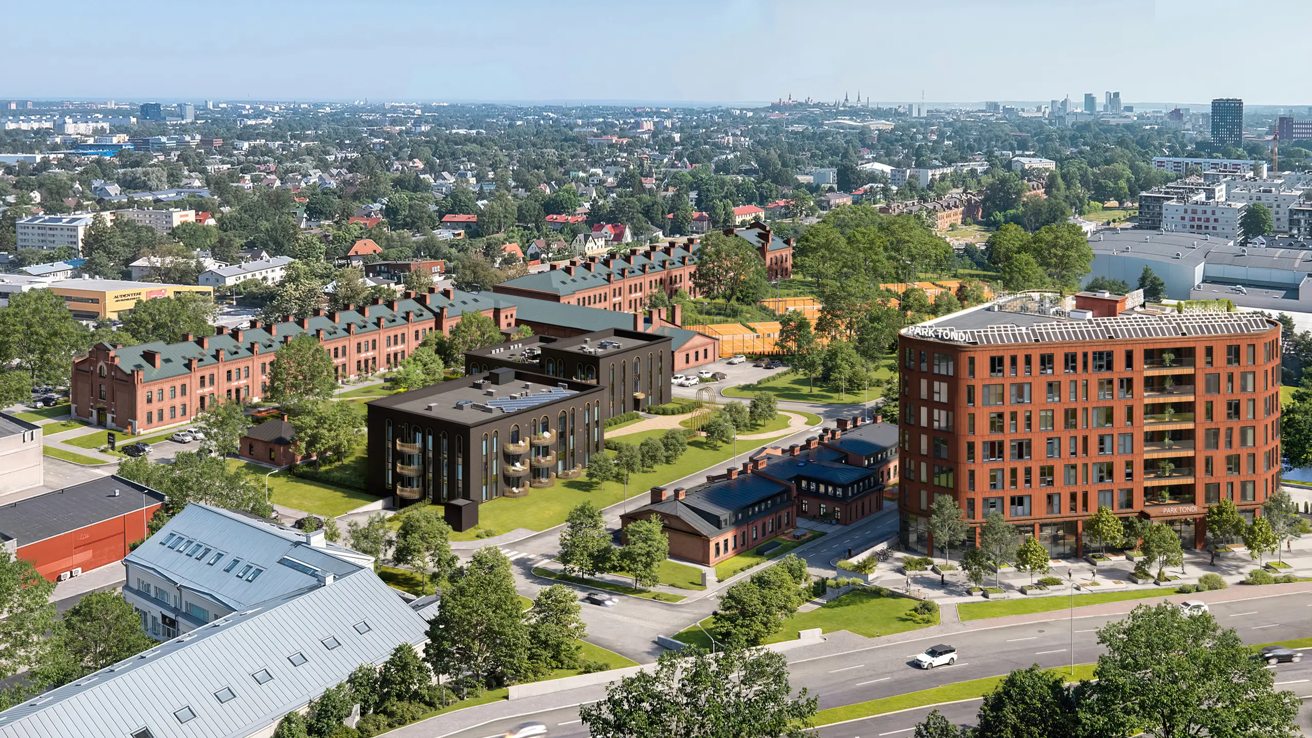
The scheme in its real surroundings
The new buildings placed among the existing streets and neighbours, so a buyer or a planning committee sees how the scheme fits the place, not only how it looks on its own.
The craft
What makes a site plan rendering easy to read
A view from above shows a lot at once. These are the things we check so the layout reads in a few seconds.
The layout comes first
The camera height and angle are chosen so roads, entrances, parking and paths read clearly. A beautiful angle that hides the access road is the wrong angle for a site plan.
Real ground levels
Slopes, retaining walls and steps are modelled from your levels or survey, so the buildings sit on the real ground and not on a flat plate.
Shadows that tell the time
The sun is placed for the real orientation of the site, so the shadows show how gardens and terraces will be lit. You choose the time of day.
Scale you can feel
Cars, people and trees at their true size show how big the plot and the buildings really are. An empty site reads as a diagram.
Working with us
Working from your drawings, under NDA
One model for the whole set
The site plan, the aerials and the street-level views come from the same model, so the buildings, materials and planting match in every image.

You write to the person placing the camera
Where the camera sits decides what a site plan shows. Your comments go straight to the artist who has the file open.

Unreleased sites stay private
Land deals and unlaunched developments stay off this website and off social media. We sign your NDA before the drawings arrive.

Estonian studio, European hours
Working since 2013 and delivering to 17 countries. A message sent at lunch in Europe is answered the same afternoon.
How a site is built
From a site plan drawing to the finished aerial in four steps
One fixed price, agreed before any work starts, and the camera positions agreed with you before anything is textured.
Brief
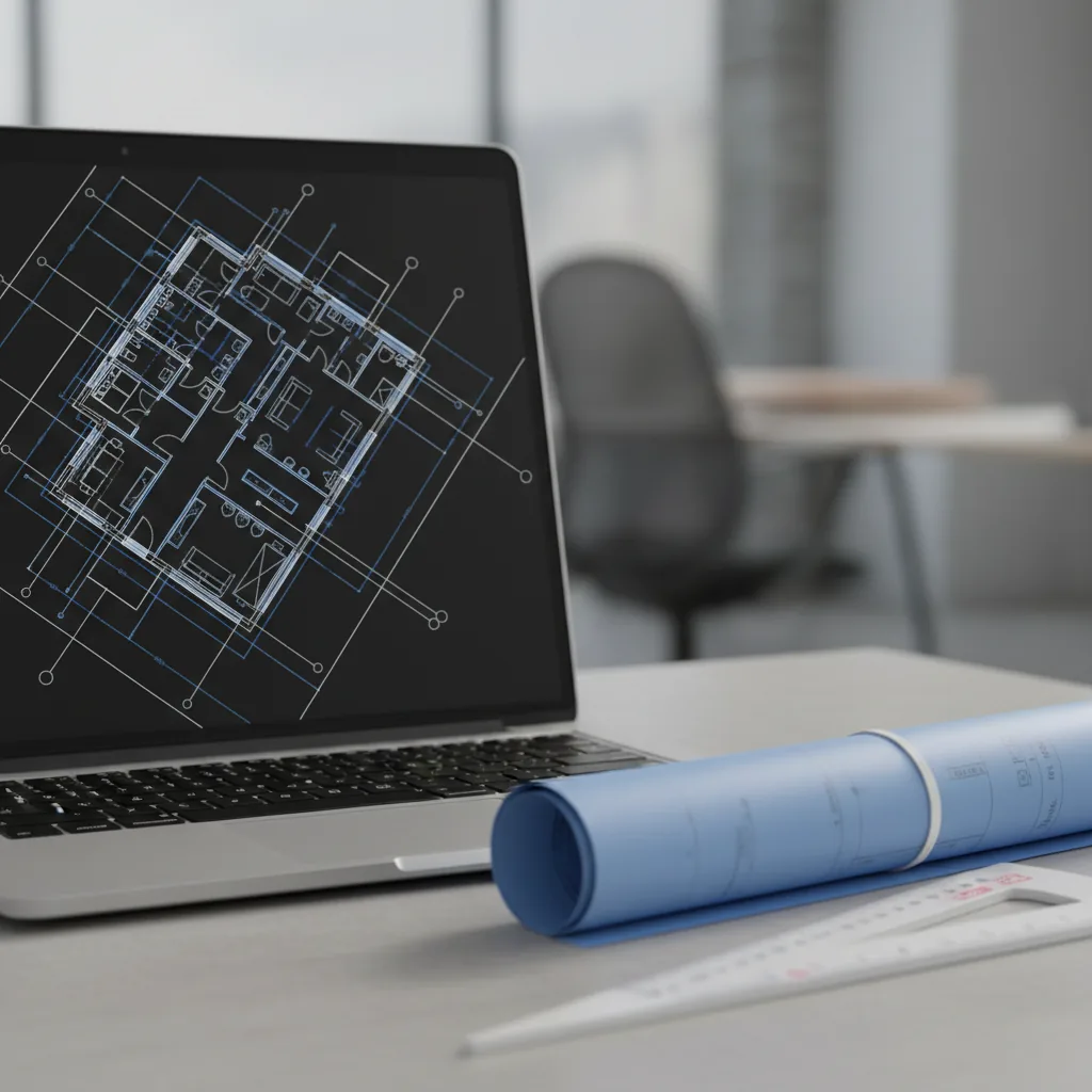
Send the drawings and the site
Upload the site plan, the building drawings and any survey, map or drone photograph you have, and say which views you need. A reply comes back within 30 minutes: one fixed price and a delivery date, or the 1-2 questions we need answered first.
Within days
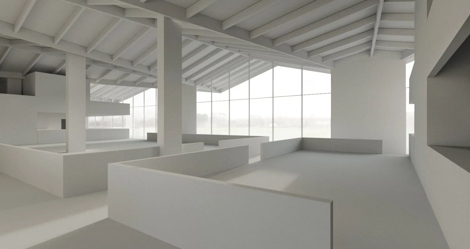
The site as a clay model
The plot, the new buildings and the surroundings go up as an untextured model. Ground levels, building heights and camera positions are agreed with you here, while changes are still quick.
About a week
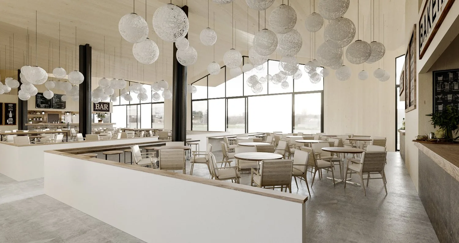
Materials, landscaping and light
Facades, roofs, trees, planting, cars and people go in, and the sun is set for the time of day you want. 2 revision rounds are included and in practice we keep going until it is right.
Delivery
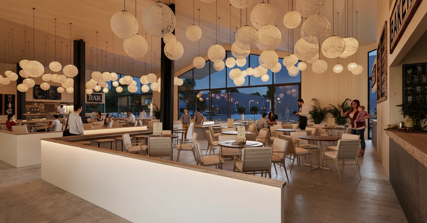
More views from the same model
Once the site exists in 3D, a top-down plan, a second aerial or a view from the street costs much less than the first image. 4K as standard, larger for print on request, full usage rights.
2 revision rounds included, then refined until you sign off. Delivered on the date we agree.
Selected aerials
Sites and masterplans seen from above
Aerial work across the Nordics, the Baltics and Europe: housing areas, resorts, business parks and city blocks. Filter by sector, by light or by market.
Nothing matches those filters yet.
What it costs
What decides the price of a site plan rendering
One fixed price for the project, agreed before work starts, not a day rate. Here is what moves it.
-
The size of the site
One plot with one house is a smaller job than a whole neighbourhood with streets between the buildings.
-
How many buildings are new
Each new building is modelled from your drawings. Repeated house types cost less than buildings that are all different.
-
How much of the surroundings is modelled
Neighbouring buildings, roads and trees are modelled from maps, survey data or photographs. A wide view to the horizon needs more of them than a close view of the plot.
-
How many views
One aerial, an aerial with a top-down plan, or a set of 6 to 12 views for a planning submission.
-
The state of your drawings
A 3D model or CAD drawings with levels is quickest. A PDF site plan works too, and we agree the geometry with you before texturing.
-
Landscaping detail
A landscape architect's planting plan is followed tree by tree. Without one, we propose planting that suits the site and the climate.
-
Repeats from the same model
Further views, another time of day or a later design change cost much less than the first image, because the site already exists in 3D.
Free guide
The Site Plan Rendering Buyer's Guide
What to send, which views to order and what arrives on delivery.
- What goes in the brief: the site plan, the buildings and the views you need
- Aerial site plan, masterplan aerial or a view in the real surroundings, and which one fits your use
- How the size of the site and the surroundings move the quote
- A reply within 30 minutes: a fixed number or our questions
Opens the upload form. Send what you have; no sales call.
Who orders them
Who orders a site plan rendering from us
Different buyers, one need: an image that shows the whole site and how it fits the place around it.

Property developers
The first image of a new development, for land deals, investor decks and the sales launch, long before anything is built.
Read more
Architects
A site layout explained to a client, a competition jury or a planning committee, with the heights and the surroundings visible.
Read more
Real estate agencies
One aerial for a listing or a brochure that shows where each plot or home sits on the site and what is around it.
Read more
What you provide
What you send and what comes back
Send what exists today and we will say what, if anything, is missing.
What we accept
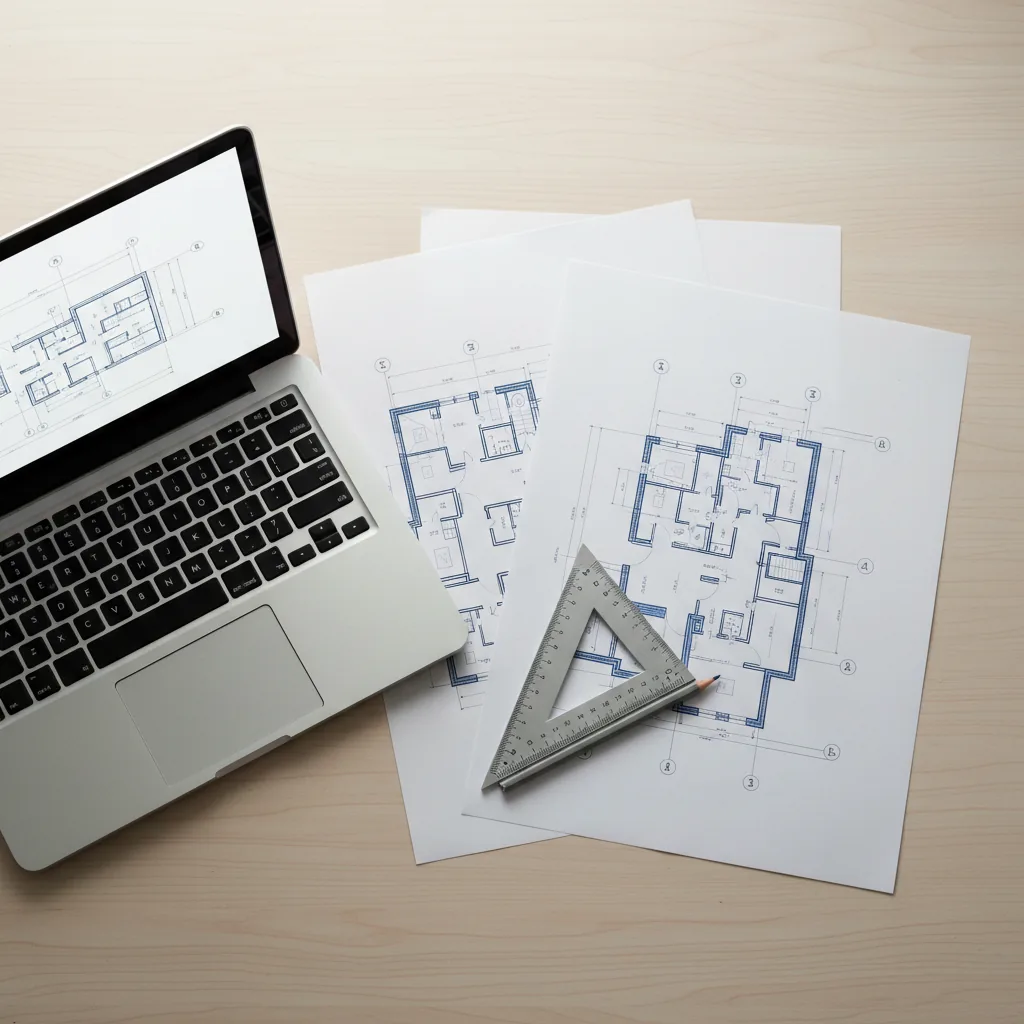
SiteThe site plan as CAD or PDF, with levels or a survey if you have them
BuildingsA 3D model if you have one, or CAD/PDF drawings of each new building
SurroundingsA drone photograph, photographs of the site or just the address, and we model the rest
LandscapingA planting plan, or a description of what should grow where
ViewsTop-down, aerial or street level, and where the images will be used
What you receive
ImagesThe agreed site plan and aerial views at 4K, larger for print on request
More viewsFurther angles and times of day from the same model when you need them
RightsFull usage rights to everything delivered
RevisionsTwo rounds included, then refined until you sign off
ModelThe site model stays ready for the next phase of the project
Planning a whole district? See 3D rendering for urban planning. For the buildings close up, see exterior rendering and 3D animation for a flight over the site.
Where we work
Rooted in Estonia, with offices and clients worldwide
We work with developers, architects and agencies across Europe, North America, Australia and the Middle East. Each market we work in has its own page: Estonia, Finland, Norway, Sweden, London, New York, Los Angeles, Chicago, Houston, Miami, Toronto, Sydney and Dubai.
Questions we get asked
Site plan rendering questions, answered
What people usually ask before their first site plan rendering. Still unsure? Send the drawings anyway; the quote reply says what is missing.
Ask us directlyWhat is a site plan rendering?
An image of the whole plot seen from above: the buildings, roads, parking, paths and landscaping, and the neighbours around them. It shows the layout of a site in one frame, for a sales brochure, an investor deck or a planning submission. It can be a flat 2D drawing or a view of a 3D model; we make the 3D kind.
Do I need a 2D or a 3D site plan rendering?
A flat 2D coloured plan is enough when the drawing only has to show the layout, for example inside a planning drawing set. A 3D site plan rendering shows building heights, shadows, materials and the surroundings, which is what a buyer or an investor needs to understand the place. It also comes from a model that can make more views later. From the 3D model we can render a straight top-down view, so you get a coloured plan and the aerial views from the same work.
What is the difference between a site plan rendering and an aerial view?
The camera angle. A site plan rendering looks straight down or nearly straight down, so distances and the layout read clearly. An aerial view tilts the camera, so the buildings read as buildings and the surroundings reach the horizon. Both come from the same 3D model, so most projects order both.
Do I need a 3D model or a drone photograph to start?
No. A CAD or PDF site plan and the drawings of the buildings are enough to start. A 3D model from SketchUp, Revit or ArchiCAD saves time if you have one. A drone photograph of the real site is useful but not required: with one, we can place the new buildings into the photograph; without one, we model the surroundings from maps, survey data and photographs.
Can you show the real neighbours, roads and trees around the site?
Yes. The existing buildings, streets and large trees around the plot are modelled from maps, survey data and photographs, at the level of detail the view needs. A close view of one plot needs only the neighbours. A wide masterplan aerial needs the surroundings out to the horizon, which is part of the quote.
How long does a site plan rendering take?
One aerial view takes about a week. A set of 6 to 12 views for a planning submission takes 2 to 3 weeks. You see an untextured model of the site within days, and that is where the ground levels, the massing and the camera positions are agreed.
Can AI render a site plan?
AI tools can turn a plan into a quick, loose picture, which is fine for an early idea. They do not keep your exact layout, building heights or the real surroundings, and they change details from one image to the next. A buyer, an investor or a planning committee needs a site plan that matches the drawings, so we build the site as a 3D model and render it.
How much does a site plan rendering cost?
One fixed price for the project, agreed before work starts. What moves it is listed in the cost section above: the size of the site, the number of buildings, how much of the surroundings is modelled and how many views you need. Further views off the same model cost much less than the first. Our price ranges are on the pricing page, and you get a reply within 30 minutes: a fixed number for your project, or the questions we need answered first.
Start a project
Send your site plan, get a reply within 30 minutes
Tell us which views you need. A CAD or PDF site plan, a 3D model or a drone photograph all work as a starting point.
We take a limited number of projects each month.